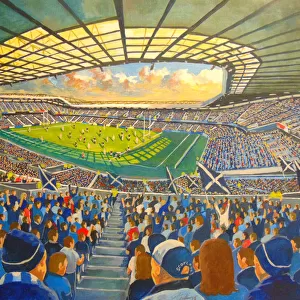
Home > Arts > Landscape paintings > Waterfall and river artworks > River artworks
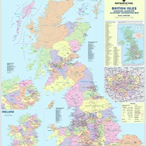
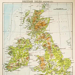
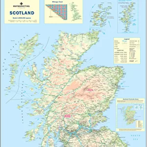
Childrens Physical British Isles Map

![]()
Wall Art and Photo Gifts from Map Marketing
Childrens Physical British Isles Map
The British Isles Physical map designed for school children was created using Universal Transverse Mercator projection. This physical student map displays relief and bathymetric data along with rivers and canals. It labels significant upland areas, rivers, hills, mountains and other pertinent geographical features. It also shows helpful information on the longest rivers and highest mountains in the British Isles. Lines of latitude (parallels) and longitude (meridians) are marked
Media ID 19950479
© Map Marketing Ltd
FEATURES IN THESE COLLECTIONS
> Arts
> Landscape paintings
> Waterfall and river artworks
> River artworks
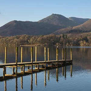
> Europe
> United Kingdom
> Lakes
> Related Images
> Europe
> United Kingdom
> Related Images
> Maps and Charts
> Related Images
MADE IN THE USA
Safe Shipping with 30 Day Money Back Guarantee
FREE PERSONALISATION*
We are proud to offer a range of customisation features including Personalised Captions, Color Filters and Picture Zoom Tools
SECURE PAYMENTS
We happily accept a wide range of payment options so you can pay for the things you need in the way that is most convenient for you
* Options may vary by product and licensing agreement. Zoomed Pictures can be adjusted in the Cart.