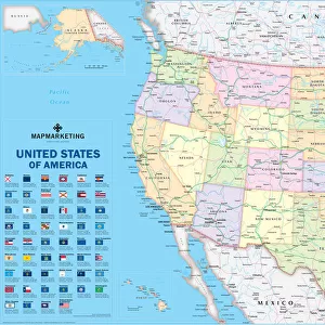
Home > North America > United States of America > Maps
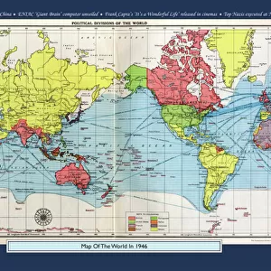
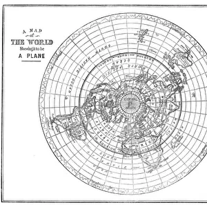
Historical World Events map 1922 US version

![]()
Wall Art and Photo Gifts from Map Marketing
Historical World Events map 1922 US version
A world map originally published in 1922, reproduced from the internationally famousCollins Bartholomew World Through Timehistoric cartographic archive. A perfect reminder of how the world looked in 1922. The map is framed in a stylish text border containing highlights of significant events from 1922
Media ID 19959571
© Design Map Marketing Ltd, Mapping Collins Bartholomew
FEATURES IN THESE COLLECTIONS
> Map Marketing
> Historical World Maps
> Maps and Charts
> Early Maps
> Maps and Charts
> Related Images
> Maps and Charts
> World
> North America
> United States of America
> Maps
MADE IN THE USA
Safe Shipping with 30 Day Money Back Guarantee
FREE PERSONALISATION*
We are proud to offer a range of customisation features including Personalised Captions, Color Filters and Picture Zoom Tools
SECURE PAYMENTS
We happily accept a wide range of payment options so you can pay for the things you need in the way that is most convenient for you
* Options may vary by product and licensing agreement. Zoomed Pictures can be adjusted in the Cart.