Fraud Blocker Skip to main content

Home > Map Marketing > Images Dated > 2020 > April > 9 Apr 2020

Images Dated 9th April 2020

Choose a picture from our Images Dated 9th April 2020 Collection for your Wall Art and Photo Gifts

21 items

Background imageImages Dated 9th April 2020: Physical World Map

Physical World Map
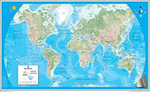
A Physical map of the World designed for school children. Based on the Van Der Grinten projection, the map displays the continents of the world labelling significant rivers

Background imageImages Dated 9th April 2020: Giant World Map

Giant World Map
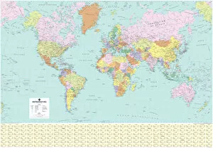
This extra-large map of the world is based on the Mercator Projection and is ideal for both business and educational purposes, or even simply as a stunning wall display

Background imageImages Dated 9th April 2020: Scotland Road Map

Scotland Road Map
A Scotland road map ideal for planning travel either for business or pleasure. Motorways, primary routes, A roads and many B roads are displayed on a green map base with full relief colouring

Background imageImages Dated 9th April 2020: British Isles Counties, Districts and Unitary Authorities Map

British Isles Counties, Districts and Unitary Authorities Map
A political map of the UK and Ireland showing all County, District and Unitary Authority boundaries. Each County is clearly divided into its local District Council areas

Background imageImages Dated 9th April 2020: France Administrative Political Map

France Administrative Political Map
A detailed Administrative map of France showing the political administrative divisions of the country. Each Departement is coloured individually

Background imageImages Dated 9th April 2020: USA Political Map

USA Political Map
This very clean and clear USA political map shows each State in a different colour as well as principal cities and towns divided into six separate population bands

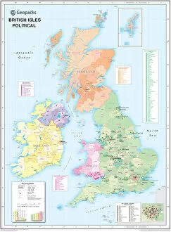
Background imageImages Dated 9th April 2020: Childrens Political British Isles Map

Childrens Political British Isles Map
The British Isles Political map designed for school children was created using Universal Transverse Mercator projection. This political student map clearly marks the counties

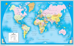
Background imageImages Dated 9th April 2020: Childrens Political World Map

Childrens Political World Map
A Political map of the World designed for school children. Based on the Van Der Grinten projection, the World map displays international political boundaries, including ones which are disputed

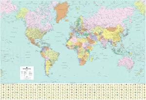
Background imageImages Dated 9th April 2020: World Political Map

World Political Map
A highly detailed World Political Map specially designed for the office or boardroom but will look equally impressive in the classroom or home

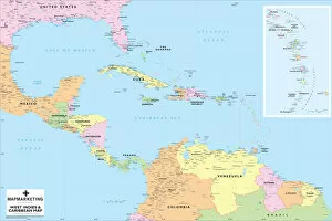
Background imageImages Dated 9th April 2020: West Indies and Caribbean Map

West Indies and Caribbean Map
This Caribbean map covers an area from Dallas in the north to Esmeraldes in the south and from Mexico City in the west to French Guiana in the east

Background imageImages Dated 9th April 2020: Childrens Political Europe Map

Childrens Political Europe Map
A Political map of Europe designed for school children. Based on the Lambert Conformal Conic projection, the Europe map covers the whole of the continent from northern Africa to Norwayaes North Cape

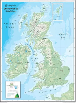
Background imageImages Dated 9th April 2020: Childrens Physical British Isles Map

Childrens Physical British Isles Map
The British Isles Physical map designed for school children was created using Universal Transverse Mercator projection. This physical student map displays relief

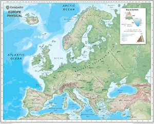
Background imageImages Dated 9th April 2020: Childrens Physical Europe Map

Childrens Physical Europe Map
A Physical map of Europe designed for school children. Based on the Lambert Conformal Conic projection, the Europe map covers the whole of the continent from northern Africa to Norwayaes North Cape

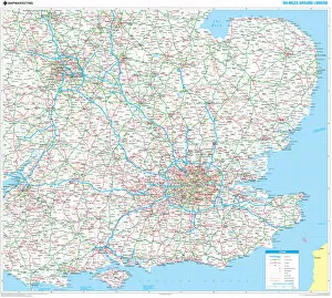
Background imageImages Dated 9th April 2020: 100 Miles Around London Map

100 Miles Around London Map
A clear map covering a 100-mile radius around London. Specially produced for the commercial driver and practical motorist

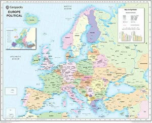
Background imageImages Dated 9th April 2020: Europe Political Map

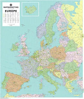
Europe Political Map
This detailed Europe map covers the whole of the continent of Europe, going east as far as Moscow and south to North Africa

Background imageImages Dated 9th April 2020: US National Parks Art Map

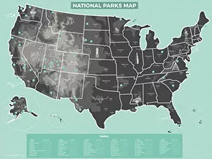
US National Parks Art Map
An artistic representation of all the National Parks in the USA, each of the 59 Parks is labelled with a number reflected in the index

Background imageImages Dated 9th April 2020: United Kingdom Sales & Marketing Map

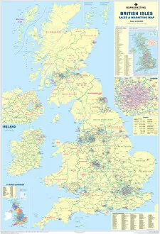
United Kingdom Sales & Marketing Map
A multi-purpose basic business planning map of the UK. Motorways are shown in blue with County boundaries and names displayed in red and Local and Unitary Authority boundary lines and names in green

Background imageImages Dated 9th April 2020: World Art Map Yellow and Dark Blue

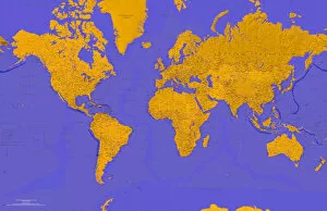
World Art Map Yellow and Dark Blue
A vibrant two-tone coloured World Map with countries picked out in yellow and the seas and oceans in a dark blue. An artistic interpretation of our world

Background imageImages Dated 9th April 2020: World Art Map Magenta and Aquamarine

World Art Map Magenta and Aquamarine
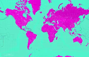
A vibrant two-tone coloured World Map with countries picked out in magenta and the seas and oceans in an aquamarine. An artistic interpretation of our world

Background imageImages Dated 9th April 2020: World Art Map Orange and Light Blue

World Art Map Orange and Light Blue
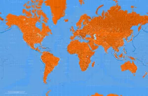
A vibrant two-tone coloured World Map with countries picked out in orange and the seas and oceans in a light blue. An artistic interpretation of our world

Background imageImages Dated 9th April 2020: French World Political Map

French World Political Map
A highly detailed French language World Political Map specially designed for the office or boardroom but will look equally impressive in the classroom or home


All Professionally Made to Order for Quick Shipping


-

Why Choose Us?

We are a leading provider of Art Prints and Photo Gifts since 2004, working in partnership with a range of Sporting Clubs, Charities, Museums and Picture Libraries. A large share of profits from any of their images will go directly towards supporting that charity or club. Our archive of images is carefully curated to bring you a wide range of subjects, including landscapes, wildlife, architecture, and more. We ship from our partner labs in the UK, USA, EU (Netherlands) and Australia.
+

How do I place an order?

Ordering is quick & easy - Just follow 5 Simple Steps:
  1. Find your image: Use our search box or browse our online photo Collections to find the image you want.

  2. Choose your print format: Select your desired product and add it to your cart.

  3. Enter your details: If you're a returning customer, simply enter your email address and password, and we'll fill in your billing and shipping address details. All personal details are held securely and are fully GDPR compliant. As standard, we remove all Personally Identifiable Information after 12 months.

  4. Pay for your purchase: We use state-of-the-art security for online shopping and do not have access to your card details.

  5. Sit back and relax: We'll email you confirmation of your order and when it's dispatched. Registered customers can also track orders in the 'My Account' area.

+

How do I pay for an order?

You can pay for your order with most of the major credit and debit cards, or PayPal. For added security, major financial institutions process payment details separately and securely on our behalf. We do not have access to your online payment card details. Online payments are preferred however we do take phone orders. For UK customers only we accept cheques issued against a UK bank.
+

Is my data safe?

We take data security very seriously. We do not have access to your full card details and all payments are requested over a fully secure connection. Additionally, we fully comply with current European and GDPR legislation, and automatically remove all personal data after at most 12 months (unless you have an account with us and have signed in recently). We also have a strict opt-in policy and would never sell your personal details. Your data is only used to fulfill your order promptly and efficiently.
+

Is wall art ready to hang?

For quick and easy installation all wall art, including framed prints, canvas prints and metal prints are supplied with a ready to hang solution on the back. Generally, saw tooth hangers are applied as they allow wall art to hang flush against the wall. The serrated edge of the hanger prevents the frame from shifting or tilting when hung.
+

Are the photo prints fade resistant?

Yes, we use archival quality photo paper photographic paper for vivid reproduction Prints are an accurate representations of the original artwork, which is preserved for artistic character and authenticity. We guarantee they match previews shown on our web site