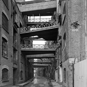
Home > North America > United States of America > New York > New York > Sights > Carnegie Hall
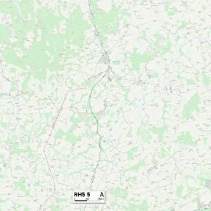
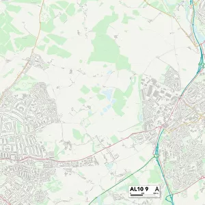
St Albans AL3 6 Map

![]()
Wall Art and Photo Gifts from Map Marketing
St Albans AL3 6 Map
Postcode Sector Map of St Albans AL3 6
Media ID 19965150
Avocet Close Canberra Close Carnegie Road Darwin Close Firbank Road Francis Avenue Green Lane Henderson Close High Oaks Hill Farm Lane Maple Avenue Melbourne Close Nicholas Close Parkway Partridge Road Petersfield School Lane St Albans Tamarisk Close The Ferns Tudor Road Valley Road Potters Field
FEATURES IN THESE COLLECTIONS
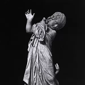
> Animals
> Birds
> Columbiformes
> Doves
> Related Images
> Animals
> Birds
> Phasianidae
> Hill Partridge
> Animals
> Mammals
> Muridae
> House Mouse
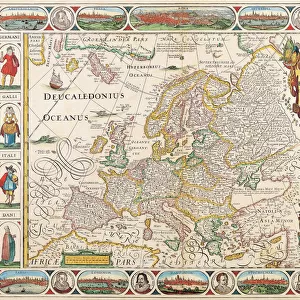
> Europe
> United Kingdom
> Wales
> Flintshire
> Flint
> Map Marketing
> Postcode Sector Maps
> AL - St Albans
> Maps and Charts
> Related Images
> North America
> United States of America
> New York
> New York
> Sights
> Carnegie Hall
MADE IN THE USA
Safe Shipping with 30 Day Money Back Guarantee
FREE PERSONALISATION*
We are proud to offer a range of customisation features including Personalised Captions, Color Filters and Picture Zoom Tools
SECURE PAYMENTS
We happily accept a wide range of payment options so you can pay for the things you need in the way that is most convenient for you
* Options may vary by product and licensing agreement. Zoomed Pictures can be adjusted in the Cart.