Home > Europe > United Kingdom > England > Birmingham > Area > Hamstead
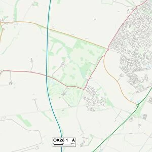
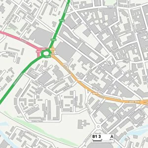
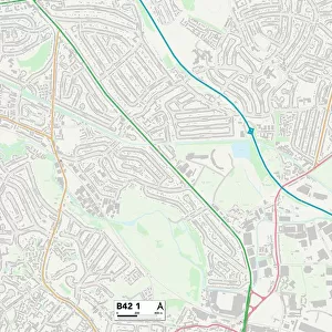
Birmingham B43 5 Map

![]()
Wall Art and Photo Gifts from Map Marketing
Birmingham B43 5 Map
Postcode Sector Map of Birmingham B43 5
Media ID 19964998
Allen Close Bankside Beacon Way Birmingham Blenheim Drive Brookside Broomhill Close Broomhill Lane Coleridge Road Coniston Crescent Conway Grove Denton Grove Eastwood Road Ennerdale Road Farnham Close Ferndale Avenue Grasmere Close Green Lane Greenfield Road Greenway Heather Road Highfield Road Holland Road Howard Road James Road Langdale Road Latham Avenue Linden Avenue Newton South View Stanton Road Valley Road Waterside West Road Hamstead
FEATURES IN THESE COLLECTIONS
> Animals
> Mammals
> Muridae
> House Mouse
> Arts
> Artists
> H
> James Holland
> Europe
> United Kingdom
> England
> Birmingham
> Area
> Hamstead
> Europe
> United Kingdom
> England
> Birmingham
> Area
> Newton
> Map Marketing
> Postcode Sector Maps
> B - Birmingham
> Maps and Charts
> Related Images
MADE IN THE USA
Safe Shipping with 30 Day Money Back Guarantee
FREE PERSONALISATION*
We are proud to offer a range of customisation features including Personalised Captions, Color Filters and Picture Zoom Tools
SECURE PAYMENTS
We happily accept a wide range of payment options so you can pay for the things you need in the way that is most convenient for you
* Options may vary by product and licensing agreement. Zoomed Pictures can be adjusted in the Cart.