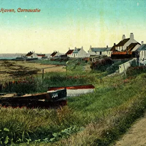
Home > Europe > United Kingdom > Scotland > Angus > Carnoustie
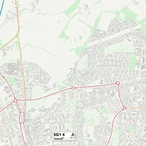
Wirral CH46 6 Map

![]()
Wall Art and Photo Gifts from Map Marketing
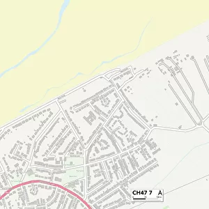
Wirral CH46 6 Map
Postcode Sector Map of Wirral CH46 6
Media ID 19968301
Alnwick Drive Amberley Close Ashby Close Barberry Close Belfry Close Bradgate Close Cambrian Close Carnoustie Close Carr House Lane Carr Lane Ch46 Douglas Drive Edgehill Road Felton Close Foxton Close Glenfield Close Hornbeam Close Huntingdon Close Huxley Close Kestrel Road Macdonald Road Millers Close Millers Way Morpeth Close Oakham Drive Rosewood Drive Rothbury Close St Austell Close St Michaels Grove The Paddock Thornley Road Turnberry Close Wirral Linear Park
FEATURES IN THESE COLLECTIONS
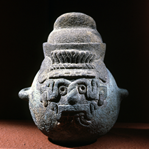
> Animals
> Mammals
> Muridae
> House Mouse
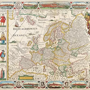
> Europe
> United Kingdom
> Scotland
> Angus
> Carnoustie
> Map Marketing
> Postcode Sector Maps
> CH - Chester
> Maps and Charts
> Related Images
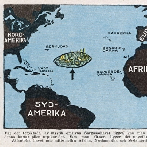
> North America
> Bermuda
> Maps
> North America
> Bermuda
> Related Images
MADE IN THE USA
Safe Shipping with 30 Day Money Back Guarantee
FREE PERSONALISATION*
We are proud to offer a range of customisation features including Personalised Captions, Color Filters and Picture Zoom Tools
SECURE PAYMENTS
We happily accept a wide range of payment options so you can pay for the things you need in the way that is most convenient for you
* Options may vary by product and licensing agreement. Zoomed Pictures can be adjusted in the Cart.