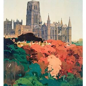
Home > Europe > United Kingdom > England > Durham > Woodland
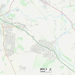
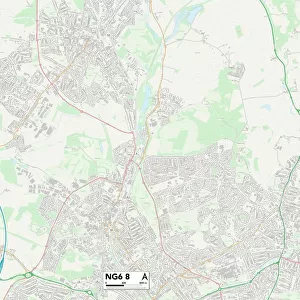
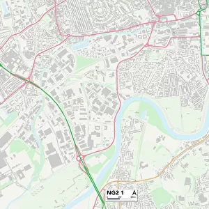
Nottingham NG6 9 Map

![]()
Wall Art and Photo Gifts from Map Marketing
Nottingham NG6 9 Map
Postcode Sector Map of Nottingham NG6 9
Media ID 19976006
Alnwick Close Austin Street Braemar Road Brooklyn Close Brooklyn Road Broomhill Road Carlisle Avenue Church Lane Colston Road Edgware Road Harewood Avenue Henrietta Street Highbury Avenue Highbury Road Imperial Road Ingram Road Jesmond Road Latimer Close Marsden Close Nelson Road Newcastle Street Nottingham Piccadilly Repton Road Spring Road St Albans Road St Andrews Close Station Road Warrington Road Woodland Avenue Bulwell
FEATURES IN THESE COLLECTIONS
> Arts
> Portraits
> Pop art gallery
> Street art portraits
> Europe
> United Kingdom
> England
> Durham
> Durham
> Europe
> United Kingdom
> England
> Durham
> Woodland
> Europe
> United Kingdom
> Northern Ireland
> County Down
> Newcastle
> Europe
> United Kingdom
> Scotland
> Fife
> St Andrews
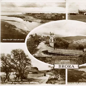
> Europe
> United Kingdom
> Scotland
> Highlands
> Brora
> Map Marketing
> Postcode Sector Maps
> NG - Nottingham
> Maps and Charts
> Related Images
MADE IN THE USA
Safe Shipping with 30 Day Money Back Guarantee
FREE PERSONALISATION*
We are proud to offer a range of customisation features including Personalised Captions, Color Filters and Picture Zoom Tools
SECURE PAYMENTS
We happily accept a wide range of payment options so you can pay for the things you need in the way that is most convenient for you
* Options may vary by product and licensing agreement. Zoomed Pictures can be adjusted in the Cart.