Home > Europe > United Kingdom > England > London > Boroughs > Barnet
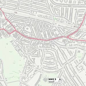
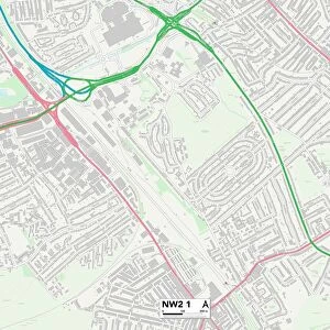
Barnet NW2 6 Map

![]()
Wall Art and Photo Gifts from Map Marketing
Barnet NW2 6 Map
Postcode Sector Map of Barnet NW2 6
Media ID 19978148
Anson Road Ashford Road Barnet Briar Road Broadfield Close Brook Road Cedar Road Colwyn Road Conway Road Dawson Road Hill Close Horseshoe Close Howard Road Humber Road Ivy Road Lane Close Langton Road Larch Road Mount Road Newton Road Oaklands Road Olive Road Orchard Close Park Close Park Side Pine Road Roman Road St Andrews Close St Michaels Road Temple Road The Crescent Walton Close Wilkinson Close Wren Avenue
FEATURES IN THESE COLLECTIONS
> Arts
> Artists
> P
> Gordon Parks
> Arts
> Artists
> R
> Roman Roman
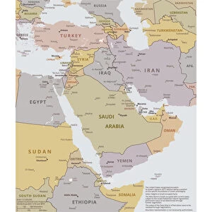
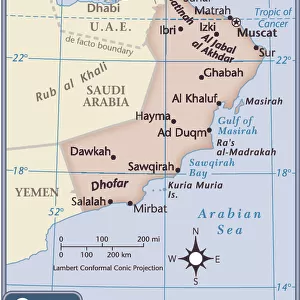
> Asia
> Oman
> Related Images
> Europe
> United Kingdom
> England
> London
> Boroughs
> Barnet
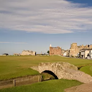
> Europe
> United Kingdom
> Scotland
> Fife
> St Andrews
> Map Marketing
> Postcode Sector Maps
> NW - London NW
> Maps and Charts
> Related Images
MADE IN THE USA
Safe Shipping with 30 Day Money Back Guarantee
FREE PERSONALISATION*
We are proud to offer a range of customisation features including Personalised Captions, Color Filters and Picture Zoom Tools
SECURE PAYMENTS
We happily accept a wide range of payment options so you can pay for the things you need in the way that is most convenient for you
* Options may vary by product and licensing agreement. Zoomed Pictures can be adjusted in the Cart.