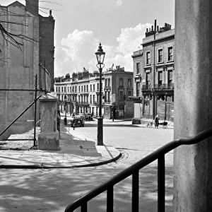
Home > Europe > United Kingdom > England > London > Towns > Grove Park
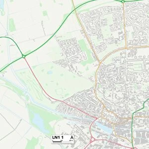
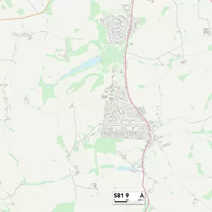
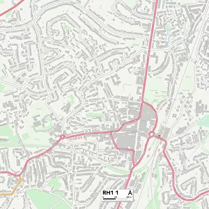
Mid Sussex RH19 1 Map

![]()
Wall Art and Photo Gifts from Map Marketing
Mid Sussex RH19 1 Map
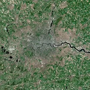
Postcode Sector Map of Mid Sussex RH19 1
Media ID 19979628
Austen Close Bluebell Close Brooklands Way Burns Way Byron Grove Campbell Crescent Chaucer Avenue Crescent Road Dickens Close Garland Road Grosvenor Road Hills Road Kipling Way Linden Avenue Lodge Close London Road Manor Road Maypole Road Meadowcroft Close Mid Sussex Milton Crescent North End Oakhurst Gardens Orchard Way Park Road Parkside Queens Road Queensway Railway Approach Sheffield Street Shelley Road St Edwards Close St Jamess Road Station Road The Close West Street Wood Street Woodstock Christies East Grinstead Millwood Smolletts
FEATURES IN THESE COLLECTIONS
> Arts
> Portraits
> Pop art gallery
> Street art portraits
> Europe
> United Kingdom
> England
> East Sussex
> Related Images
> Europe
> United Kingdom
> England
> London
> Related Images
> Europe
> United Kingdom
> England
> London
> Sights
> Green Park
> Europe
> United Kingdom
> England
> London
> Towns
> Grove Park
> Europe
> United Kingdom
> England
> London
> Towns
> North End
> Europe
> United Kingdom
> England
> London
> Towns
> West Green
> Europe
> United Kingdom
> England
> London
> Towns
> West Hill
> Europe
> United Kingdom
> England
> London
> Towns
> Wood Green
> Europe
> United Kingdom
> England
> London
> Transport
> Railway
> Map Marketing
> Postcode Sector Maps
> RH - Redhill
MADE IN THE USA
Safe Shipping with 30 Day Money Back Guarantee
FREE PERSONALISATION*
We are proud to offer a range of customisation features including Personalised Captions, Color Filters and Picture Zoom Tools
SECURE PAYMENTS
We happily accept a wide range of payment options so you can pay for the things you need in the way that is most convenient for you
* Options may vary by product and licensing agreement. Zoomed Pictures can be adjusted in the Cart.
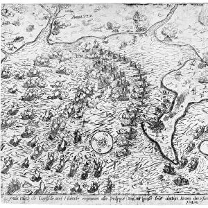
![Bewegungsstudie [Study of Movement], 1926 (gelatin silver print)](/sq/690/bewegungsstudie-study-movement-22307950.jpg.webp)