Home > Europe > United Kingdom > Scotland > Stirlingshire > Stirling
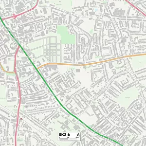
Stockport SK6 7 Map

![]()
Wall Art and Photo Gifts from Map Marketing
Stockport SK6 7 Map
Postcode Sector Map of Stockport SK6 7
Media ID 19977542
Arkwright Road Ash Grove Badger Close Beechwood Drive Bramham Road Brindley Avenue Brook Drive Brookdale Avenue Brown Lane Buxton Lane Cedar Road Chadwick Street Church Lane Crown Street Derby Close Derby Street Dovecote Road Dryden Close East Drive Eastwood Drive Edwards Close Empress Avenue Field Close Fir Road Goodwood Road Greenbank Crescent Hazel Close Kestrel Close Lakes Road Larch Close Links Road Lyme Grove Maple Avenue Market Street Mill Pond Close Milton Close Mount Drive Northwood Close Pine Close Plane Tree Close Ridge Avenue Ridge Road Rushton Drive Sherwood Close Southwood Close St Martins Road Station Road Stirling Avenue Stockport Telford Road The Green Trinity Street Turner Road Waterside Whitecroft Road Willow Court Willow Grove Windsor Drive Wood Lane Yew Tree Close Marple Stone Row
FEATURES IN THESE COLLECTIONS
> Architecture
> Towers
> Churches
> Europe
> United Kingdom
> Scotland
> Stirlingshire
> Stirling
> Map Marketing
> Postcode Sector Maps
> SK - Stockport
> Maps and Charts
> Related Images
> North America
> Saint Martin
> Maps
MADE IN THE USA
Safe Shipping with 30 Day Money Back Guarantee
FREE PERSONALISATION*
We are proud to offer a range of customisation features including Personalised Captions, Color Filters and Picture Zoom Tools
SECURE PAYMENTS
We happily accept a wide range of payment options so you can pay for the things you need in the way that is most convenient for you
* Options may vary by product and licensing agreement. Zoomed Pictures can be adjusted in the Cart.