Home > Europe > United Kingdom > England > Suffolk > Walpole
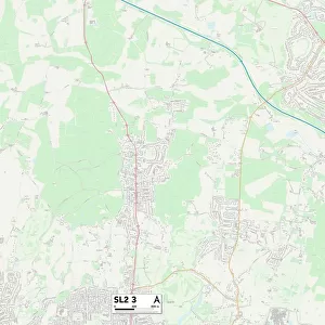
South Buckinghamshire SL1 6 Map

![]()
Wall Art and Photo Gifts from Map Marketing
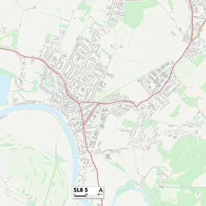
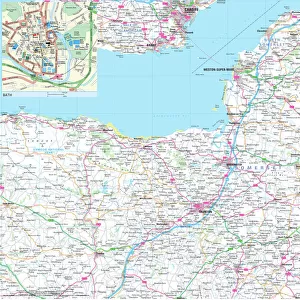
South Buckinghamshire SL1 6 Map
Postcode Sector Map of South Buckinghamshire SL1 6
Media ID 19981196
Balmoral Close Bath Road Brook Crescent Buttermere Avenue Clare Road Coniston Crescent Derwent Drive Eaton Avenue Hurst Road Lawrence Way Maybury Close Mead Way Orchard Avenue Priory Road Sandringham Court South Buckinghamshire St James Place Stanhope Road Station Road Suffolk Close The Close The Spur Thirlmere Avenue Tudor Gardens Ullswater Close Walpole Road Westlands Avenue Windermere Way Burnham
FEATURES IN THESE COLLECTIONS
> Europe
> United Kingdom
> England
> Buckinghamshire
> Burnham
> Europe
> United Kingdom
> England
> Buckinghamshire
> Related Images
> Europe
> United Kingdom
> England
> Suffolk
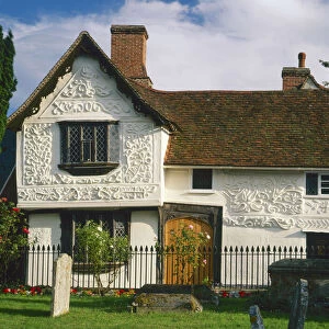
> Clare
> Europe
> United Kingdom
> England
> Suffolk
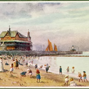
> Lowestoft
> Europe
> United Kingdom
> England
> Suffolk
> Related Images
> Europe
> United Kingdom
> England
> Suffolk
> Walpole
> Map Marketing
> Postcode Sector Maps
> SL - Slough
> Maps and Charts
> Related Images
MADE IN THE USA
Safe Shipping with 30 Day Money Back Guarantee
FREE PERSONALISATION*
We are proud to offer a range of customisation features including Personalised Captions, Color Filters and Picture Zoom Tools
SECURE PAYMENTS
We happily accept a wide range of payment options so you can pay for the things you need in the way that is most convenient for you
* Options may vary by product and licensing agreement. Zoomed Pictures can be adjusted in the Cart.