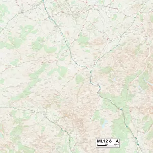
Home > Europe > United Kingdom > Scotland > Dumfries and Galloway > Thornhill
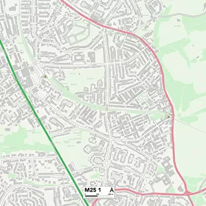
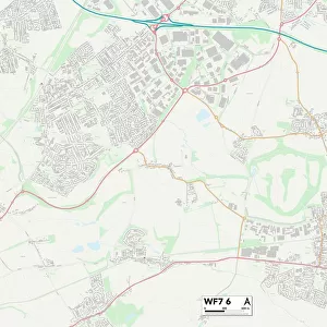
Kirklees WF12 0 Map

![]()
Wall Art and Photo Gifts from Map Marketing
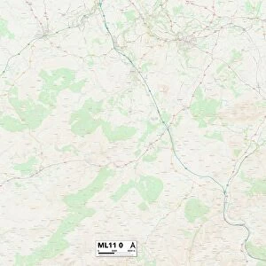
Kirklees WF12 0 Map
Postcode Sector Map of Kirklees WF12 0
Media ID 19980884
Albion Road Back Lane Carr Lane Castle Crescent Castle Mount Chapel Close Chapel Lane Church Lane Church Walk Cross Road Daleside Edge Lane Elder Drive Four Lane Ends Grange View Hall Lane Henley Avenue Henley Road High Meadows High Street Highfield Gardens Highfield Terrace Honeysuckle Drive Ingham Road Ings Lane Jacksons Lane Kirklees Long Causeway Low Lane Low Road Mountain Road Park House Drive Park View Parker Road Pinfold Close St Annes Close St Michaels Close St Michaels Mount The Common Thorn Avenue Thorn Road Thornhill Thornhill Road Valley Drive Valley Road Walker Street Wells Road Whitley Road Combs The Town
FEATURES IN THESE COLLECTIONS
> Animals
> Mammals
> Muridae
> House Mouse
> Arts
> Artists
> W
> Frank Weller
> Arts
> Portraits
> Pop art gallery
> Street art portraits
> Europe
> United Kingdom
> Scotland
> Dumfries and Galloway
> Thornhill
> Map Marketing
> Postcode Sector Maps
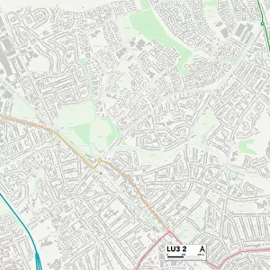
> WF - Wakefield
> Maps and Charts
> Related Images
MADE IN THE USA
Safe Shipping with 30 Day Money Back Guarantee
FREE PERSONALISATION*
We are proud to offer a range of customisation features including Personalised Captions, Color Filters and Picture Zoom Tools
SECURE PAYMENTS
We happily accept a wide range of payment options so you can pay for the things you need in the way that is most convenient for you
* Options may vary by product and licensing agreement. Zoomed Pictures can be adjusted in the Cart.