Home > Europe > United Kingdom > Scotland > Dumfries and Galloway > Thornhill
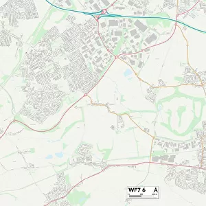
Wakefield WF1 1 Map

![]()
Wall Art and Photo Gifts from Map Marketing
Wakefield WF1 1 Map
Postcode Sector Map of Wakefield WF1 1
Media ID 19983236
Albion Court Bank Street Bread Street Brook Street Bull Ring Charlotte Street Fox Way Frederick Street Garden Street George Street Grove Road Grove Street Harrison Street Ings Road Kirkgate Lady Lane Market Street Market Way Piccadilly Queen Street Silver Street South Parade Southgate The Springs Wakefield West Parade Westgate Zetland Street Marygate Ship Yard Union Square
FEATURES IN THESE COLLECTIONS
> Animals
> Insects
> Spiders
> Silver Garden
> Arts
> Artists
> C
> Frederick Church
> Arts
> Artists
> W
> George White
> Arts
> Portraits
> Pop art gallery
> Street art portraits
> Europe
> United Kingdom
> England
> Westmorland
> Europe
> United Kingdom
> Scotland
> Dumfries and Galloway
> Thornhill
> Europe
> United Kingdom
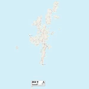
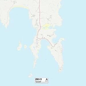
> Scotland
> Zetland
> Historic
> Medieval architecture
> Cathedrals and churches
> Church history
> Map Marketing
> Postcode Sector Maps
> WF - Wakefield
> Maps and Charts
> Related Images
MADE IN THE USA
Safe Shipping with 30 Day Money Back Guarantee
FREE PERSONALISATION*
We are proud to offer a range of customisation features including Personalised Captions, Color Filters and Picture Zoom Tools
SECURE PAYMENTS
We happily accept a wide range of payment options so you can pay for the things you need in the way that is most convenient for you
* Options may vary by product and licensing agreement. Zoomed Pictures can be adjusted in the Cart.