Home > Europe > United Kingdom > England > London > Towns > Church End
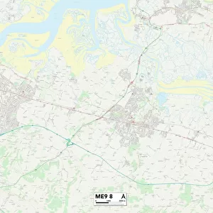
Swale ME9 9 Map

![]()
Wall Art and Photo Gifts from Map Marketing
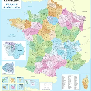
Swale ME9 9 Map
Postcode Sector Map of Swale ME9 9
Media ID 19975285
Amber Close Baker Close Broadacre Cherry Gardens Cherry Tree Close Church Road Deane Close Fox Hill London Road Lords Close Lower Road Marsh Lane North Quay Norton Road Orchard Court Orchard View School Lane St Laurence Close Station Road Swale The Crescent The Moorings The Street Worlds End
FEATURES IN THESE COLLECTIONS
> Arts
> Artists
> F
> John Field
> Arts
> Artists
> H
> John Hillers
> Arts
> Artists
> H
> John Hills
> Arts
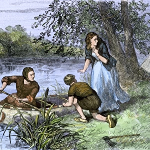
> Landscape paintings
> Waterfall and river artworks
> River artworks
> Arts
> Portraits
> Pop art gallery
> Street art portraits
> Europe
> United Kingdom
> England
> London
> Sights
> New River
> Europe
> United Kingdom
> England
> London
> Towns
> Church End
> Europe
> United Kingdom
> England
> London
> Towns
> North End
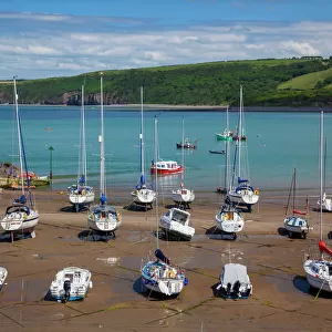
> Europe
> United Kingdom
> Wales
> Ceredigion
> New Quay
> Map Marketing
> Postcode Sector Maps
> ME - Rochester
MADE IN THE USA
Safe Shipping with 30 Day Money Back Guarantee
FREE PERSONALISATION*
We are proud to offer a range of customisation features including Personalised Captions, Color Filters and Picture Zoom Tools
SECURE PAYMENTS
We happily accept a wide range of payment options so you can pay for the things you need in the way that is most convenient for you
* Options may vary by product and licensing agreement. Zoomed Pictures can be adjusted in the Cart.