Fraud Blocker Skip to main content

Home > Arts > Photorealistic artworks > Detailed art pieces > Masterful detailing in art

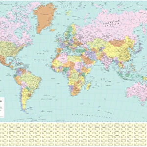
World Political Map

World Political Map


Canvas Prints
Fine Art Prints
Metal Prints
Home Decor
Background Images


We accept all major credit cards

Map Marketing

Wall Art and Photo Gifts from Map Marketing

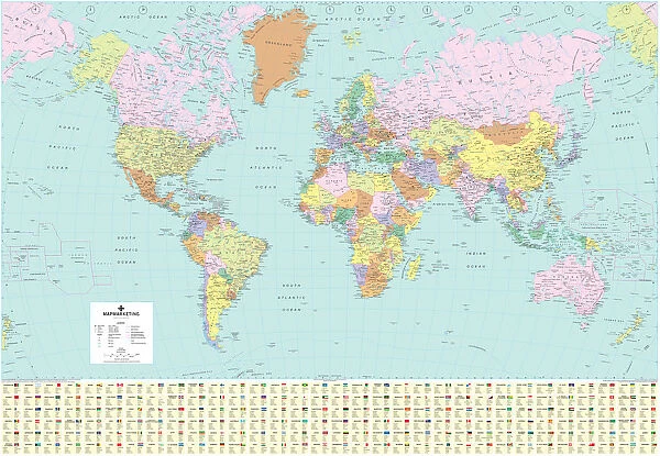
World Political Map

A highly detailed World Political Map specially designed for the office or boardroom but will look equally impressive in the classroom or home. The countries are clearly defined with political colouring and main cities are clearly marked. Also features time zone clocks, international airports, primary seaports, main railways as well as international, national and state boundaries. At the base of the map is a panel displaying the official flag for each country detailing some basic socio-economic information including population and currencies for each country. Based on the Van Der Grinten projection

Media ID 19949235

© Map Marketing Ltd

Facts


FEATURES IN THESE COLLECTIONS

> Arts > Photorealistic artworks > Detailed art pieces > Masterful detailing in art

> Map Marketing > World Maps

> Maps and Charts > Related Images

> Maps and Charts > World

> Popular Themes > Politics

> Popular Themes > Railway Posters

> Posters > Railway Posters


MADE IN THE USA
Safe Shipping with 30 Day Money Back Guarantee

FREE PERSONALISATION*
We are proud to offer a range of customisation features including Personalised Captions, Color Filters and Picture Zoom Tools

SECURE PAYMENTS
We happily accept a wide range of payment options so you can pay for the things you need in the way that is most convenient for you

* Options may vary by product and licensing agreement. Zoomed Pictures can be adjusted in the Cart.

redeem
Beautiful Photo Prints and Gifts
image
Professionally Printed
inventory
Photo Prints are in stock
thumb_up
Professional quality finish
diamond
Made with high-grade materials
inventory_2
Carefully packed to aid safe arrival


Related Images


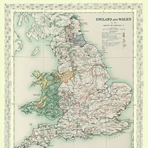
Map of England and Wales as it appeared in the Reign of Edward I
Giant World Map
Giant World Map
French World Political Map
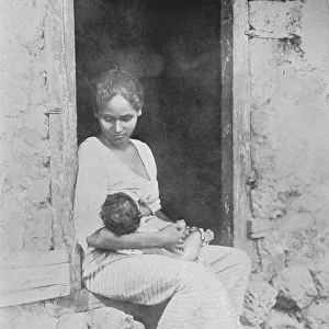
The Simple Life, c1890, (1910). Artist: Alfred William Amandus Plate
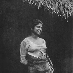
Sinhalese Village Beauty, c1890, (1910). Artist: Alfred William Amandus Plate
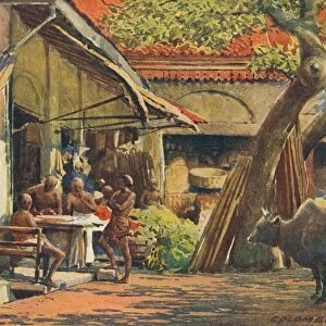
The Market, Colombo, c1880 (1905). Artist: Alexander Henry Hallam Murray
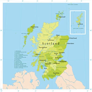
Scotland Vector Map
Scotland Vector Map
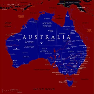
Map of Australia - Vector
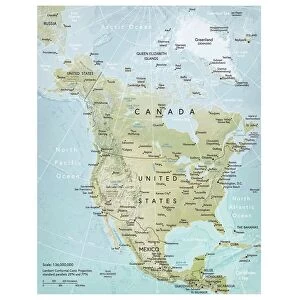
North America map
North America map
Ponderosa pine tree detail of bark
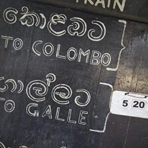
Train timetable at Weligama station, Weligama, Southern Province, Sri Lanka
Over-under shot of Philippine outrigger boat in turquoise ocean water off the coast

+

Shipping

+

Choices

+

Reviews

+

Guaranteed


Related Collections


Railway Posters
Railway Posters
Browse 30,029 Prints
Railway Posters
Railway Posters
Browse 29,939 Prints
Politics
Politics
Browse 39,873 Prints
Maps and Charts Related Images
Browse 44,395 Prints
World Maps
World Maps
Browse 268 Prints
World
World
Browse 7,602 Prints
Masterful detailing in art
Browse 7,933 Prints