Poster Prints
Jigsaw Puzzles
Photo Prints
crop_landscape
Background Images
Home Decor
Mounted Prints
Canvas Prints
Fine Art Prints
Metal Prints
Cards
![]()
![]()
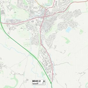
Postcode Sector Map of Huntingdonshire PE27 6
Media ID 19977810
Acacia Avenue Anderson Drive Audley Close Beech Drive Bittern Close Brownlow Road Burns Way Bury Close California Road Chaucer Way Chestnut Close Chestnut Road Dryden Close Elm Drive Goodman Close Hill Rise Houghton Road Huntingdonshire Kiln Close Knights Way Links Way Oak Tree Close Shakespeare Road Sharp Close Swan Close Tennyson Avenue The Drive The Mallards Westbury Road Westwood Road Wilson Way
MADE IN THE UK
Safe Shipping with 30 Day Money Back Guarantee
FREE PERSONALISATION*
We are proud to offer a range of customisation features including Personalised Captions, Color Filters and Picture Zoom Tools
SECURE PAYMENTS
We happily accept a wide range of payment options so you can pay for the things you need in the way that is most convenient for you
* Options may vary by product and licensing agreement. Zoomed Pictures can be adjusted in the Basket.