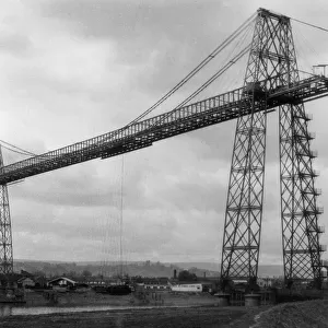
Home > Europe > United Kingdom > Wales > Gwent > Newport
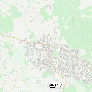
Purbeck BH20 7 Map

![]()
Wall Art and Photo Gifts from Map Marketing
Purbeck BH20 7 Map
Postcode Sector Map of Purbeck BH20 7
Media ID 19966132
Alder Close Ash Close Back Lane Barrow Hill Bryn Road Butt Lane Carey Road Cedar Drive Cherry Close Chestnut Close Church Lane Cold Harbour Dark Lane Donkey Lane Elder Road Elm Avenue Green Close Higher Street Holly Close Laburnum Close Lane End Larch Close Lower Street Manor Farm Road Maple Close Morden Road New Lane North Street Oak Avenue Oak Court Old Barn Road Paradise Lane Purbeck Rowan Close Rye Hill Sandford Sandford Road Shaw Drive Snow Hill St Helens Road St Martins Road Sycamore Close The Beeches Tower Hill Warren Road West Street Western Road Woodlands Drive Sugar Hill Warren Whitefield
FEATURES IN THESE COLLECTIONS
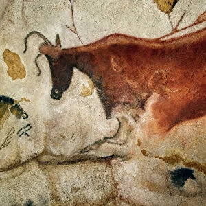
> Animals
> Farm
> Cattle
> Related Images
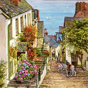
> Animals
> Farm
> Donkeys
> Related Images
> Animals
> Mammals
> Bovidae
> Goral
> Animals
> Mammals
> Muridae
> Western Mouse
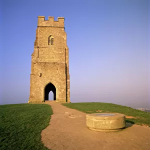
> Architecture
> Towers
> Churches
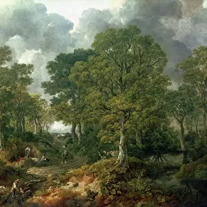
> Arts
> Landscape paintings
> Forest and woodland scenes
> Forest artwork
> Arts
> Portraits
> Pop art gallery
> Street art portraits
> Europe
> United Kingdom
> Wales
> Gwent
> Newport
> Europe
> United Kingdom
> Wales
> Pembrokeshire
> Newport
> Map Marketing
> Postcode Sector Maps
> BH - Bournemouth
> Maps and Charts
> Related Images
MADE IN THE USA
Safe Shipping with 30 Day Money Back Guarantee
FREE PERSONALISATION*
We are proud to offer a range of customisation features including Personalised Captions, Color Filters and Picture Zoom Tools
SECURE PAYMENTS
We happily accept a wide range of payment options so you can pay for the things you need in the way that is most convenient for you
* Options may vary by product and licensing agreement. Zoomed Pictures can be adjusted in the Cart.