Home > Europe > United Kingdom > England > London > Boroughs > Bromley
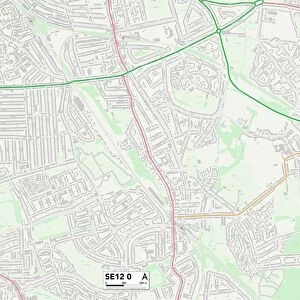
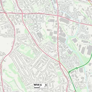
Bromley BR2 8 Map

![]()
Wall Art and Photo Gifts from Map Marketing
Bromley BR2 8 Map
Postcode Sector Map of Bromley BR2 8
Media ID 19965888
Almond Close Almond Way Aragon Close Austin Avenue Barham Close Beverley Road Bradford Close Brewery Road Bromley Broom Close Capel Close Cedar Close Cedar Crescent Cherry Orchard Road Cheyne Close Church Lane Cobham Close Cross Road Fontwell Drive Gravel Road Green Way Hastings Road Hathaway Close Hornbeam Way Jackson Road Knowle Road Laburnum Way Lakeside Drive Langham Close Larch Way Link Way Manor Way Oakley Drive Oakley Road Osprey Close Phoenix Drive Randolph Road Rookery Lane Rowan Walk Seymour Drive The Avenue The Drift The Limes Thorn Close Trinity Close Weald Close Willow Close Narrow Way Southborough
FEATURES IN THESE COLLECTIONS
> Animals
> Birds
> Columbiformes
> Doves
> Related Images
> Animals
> Birds
> Passerines
> Crows And Jays
> Green Magpie
> Animals
> Mammals
> Muridae
> Plains Mouse
> Arts
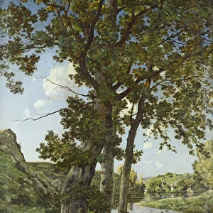
> Artists
> F
> Mark Fisher
> Arts
> Portraits
> Pop art gallery
> Street art portraits
> Europe
> United Kingdom
> England
> London
> Boroughs
> Barnet
> Europe
> United Kingdom
> England
> London
> Boroughs
> Bromley
> Map Marketing
> Postcode Sector Maps
> BR - Bromley
> Maps and Charts
> Related Images
> Posters
> Movie Posters
> Laburnum Grove
MADE IN THE USA
Safe Shipping with 30 Day Money Back Guarantee
FREE PERSONALISATION*
We are proud to offer a range of customisation features including Personalised Captions, Color Filters and Picture Zoom Tools
SECURE PAYMENTS
We happily accept a wide range of payment options so you can pay for the things you need in the way that is most convenient for you
* Options may vary by product and licensing agreement. Zoomed Pictures can be adjusted in the Cart.