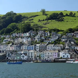
Home > Europe > United Kingdom > England > Herefordshire > Ledbury > Robert Browning
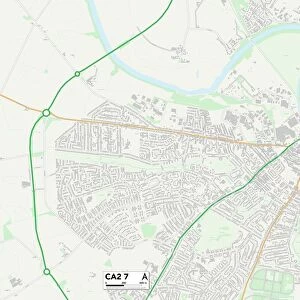
Carlisle CA2 6 Map

![]()
Wall Art and Photo Gifts from Map Marketing
Carlisle CA2 6 Map
Postcode Sector Map of Carlisle CA2 6
Media ID 19966908
Andover Close Avon Close Burnsall Close Carlisle Clarence Street Dee Close Ferguson Road Foxglove Close Garden Village Gilbert Road Grange Drive Greenside Road Highfield Avenue Inglewood Road Kelvin Grove Lyndhurst Gardens Meadow Lane Orton Road Park Road Queensway Richardson Street Rosehill Drive The Crescent The Oval Waldegrave Road Well Bank Westwood Woodend Drive Wyvern Close Yew Close Chestnut Hill Loughrigg Terrace Whernside
FEATURES IN THESE COLLECTIONS
> Animals
> Mammals
> Muridae
> House Mouse
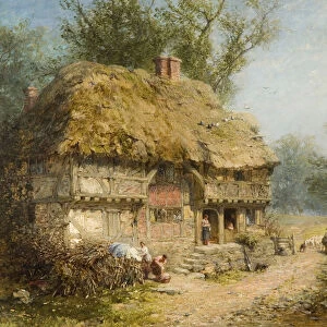
> Arts
> Artists
> B
> Peter Brown
> Arts
> Artists
> H
> Robert Hills
> Arts
> Portraits
> Pop art gallery
> Street art portraits
> Europe
> United Kingdom
> England
> Avon
> Europe
> United Kingdom
> England
> Herefordshire
> Ledbury
> Robert Browning
> Europe
> United Kingdom
> Scotland
> Fife
> Leven
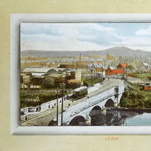
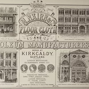
> Europe
> United Kingdom
> Scotland
> Highlands
> Nairn
> Map Marketing
> Postcode Sector Maps
> CA - Carlisle
> Maps and Charts
> Related Images
MADE IN THE USA
Safe Shipping with 30 Day Money Back Guarantee
FREE PERSONALISATION*
We are proud to offer a range of customisation features including Personalised Captions, Color Filters and Picture Zoom Tools
SECURE PAYMENTS
We happily accept a wide range of payment options so you can pay for the things you need in the way that is most convenient for you
* Options may vary by product and licensing agreement. Zoomed Pictures can be adjusted in the Cart.