Home > Europe > United Kingdom > Wales > Mid Glamorgan > Pontypridd
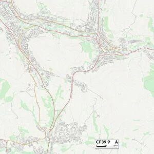
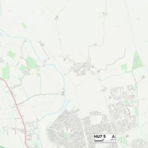
Rhondda Cynon Taf CF37 2 Map

![]()
Wall Art and Photo Gifts from Map Marketing
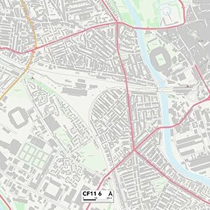
Rhondda Cynon Taf CF37 2 Map
Postcode Sector Map of Rhondda Cynon Taf CF37 2
Media ID 19967224
Bethesda Street Bridge Street Catherine Street Chapel Street Cross Street Foundry Road Fountain Street Henry Street Heol Y Parc Hillside View Ivor Street Lewis Street Library Road Llewelyn Street Maes Y Deri Margaret Street Mayfield Road Mill Street Morgan Street Mount Pleasant Oliver Street Plymouth Road Priory Close Rhondda Cynon Taf Ridgeway Close Thomas Street Thompson Street Upper Church Street Vale Gardens Western Street Pontypridd
FEATURES IN THESE COLLECTIONS
> Animals
> Mammals
> Muridae
> Heath Mouse
> Animals
> Mammals
> Muridae
> Western Mouse
> Arts
> Artists
> C
> Thomas Cross
> Arts
> Artists
> H
> Henry Heath
> Arts
> Artists
> H
> Thomas Henry
> Arts
> Artists
> L
> Henry Lewis
> Arts
> Portraits
> Pop art gallery
> Street art portraits
> Europe
> United Kingdom
> Wales
> Mid Glamorgan
> Pontypridd
> Map Marketing
> Postcode Sector Maps
> CF - Cardiff
> Maps and Charts
> Related Images
MADE IN THE USA
Safe Shipping with 30 Day Money Back Guarantee
FREE PERSONALISATION*
We are proud to offer a range of customisation features including Personalised Captions, Color Filters and Picture Zoom Tools
SECURE PAYMENTS
We happily accept a wide range of payment options so you can pay for the things you need in the way that is most convenient for you
* Options may vary by product and licensing agreement. Zoomed Pictures can be adjusted in the Cart.