Home > Europe > United Kingdom > England > London > Boroughs > Harrow
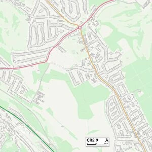
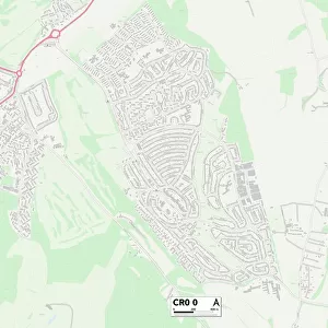
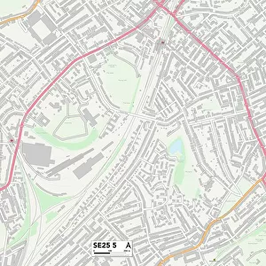
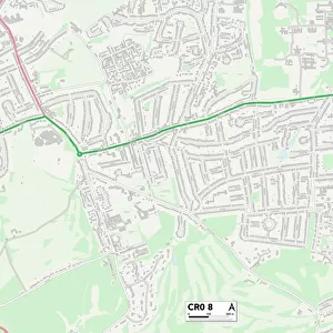
Croydon CR6 9 Map

![]()
Wall Art and Photo Gifts from Map Marketing
Croydon CR6 9 Map
Postcode Sector Map of Croydon CR6 9
Media ID 19968063
Albert Road Alexandra Avenue Alexandra Road Ashwood Barnard Road Beechwood Lane Birch Way Bond Road Briar Close Broadlands Drive Cedar Close Chapel Road Church Lane Church Road Churchill Close Clovelly Avenue Court Farm Road Cranmer Close Croydon Dane Road Daniels Lane Eden Way Elm Close Elm Road Farleigh Road Farm Road Featherbed Lane Fern Close Glebe Road Green Lane Greenhill Lane Gresham Avenue Harrow Road Hawthorne Close High Lane Homefield Road Huntsmans Close Larch Close Leas Road Lime Grove Linden Grove Manor Close Marston Drive Martin Close Meadway Narrow Lane Oakley Road Park Lane Park Road Parsonage Close Plantation Lane Redvers Road Ridley Road Rogers Lane Southview Road Stuart Road Sunny Bank The Copse The Court The Elms The Green The Meadows Tower Place Ward Lane West View Road Windmill Rise Farleigh Landscape Road
FEATURES IN THESE COLLECTIONS
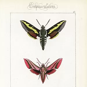
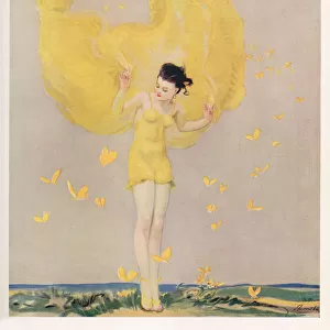
> Animals
> Insects
> Butterflies
> Pine Butterfly
> Animals
> Insects
> Related Images
> Architecture
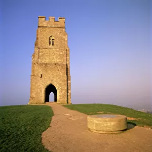
> Towers
> Churches
> Arts
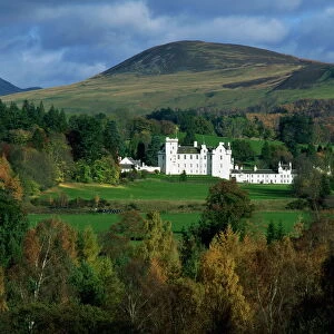
> Landscape paintings
> Landscape art
> Landscape paintings
> Europe
> United Kingdom
> England
> London
> Boroughs
> Croydon
> Europe
> United Kingdom
> England
> London
> Boroughs
> Harrow
> Map Marketing
> Postcode Sector Maps
> CR - Croydon
> Maps and Charts
> Related Images
MADE IN THE USA
Safe Shipping with 30 Day Money Back Guarantee
FREE PERSONALISATION*
We are proud to offer a range of customisation features including Personalised Captions, Color Filters and Picture Zoom Tools
SECURE PAYMENTS
We happily accept a wide range of payment options so you can pay for the things you need in the way that is most convenient for you
* Options may vary by product and licensing agreement. Zoomed Pictures can be adjusted in the Cart.