Home > Europe > United Kingdom > England > London > Boroughs > Merton
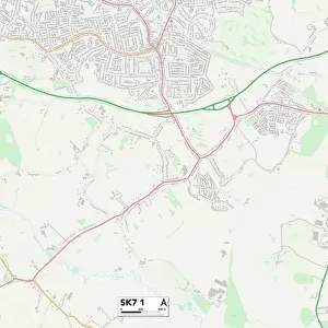
Stockport SK7 6 Map

![]()
Wall Art and Photo Gifts from Map Marketing
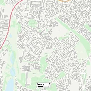
Stockport SK7 6 Map
Postcode Sector Map of Stockport SK7 6
Media ID 19977554
Alderley Close Alma Road Ashbourne Road Ayr Close Bakewell Road Belvoir Avenue Bradwell Road Brook Lane Brooklands Road Buxton Road Capesthorne Close Capesthorne Road Carlton Place Castleton Road Cavendish Road Chatsworth Road Cherry Tree Drive Chester Road Cranleigh Drive Darley Road Dean Lane Denison Road Deva Close Devonshire Road Edale Close Haddon Road Hall Farm Close Hartington Drive Knowsley Road Lyme Road Macclesfield Road Melford Road Merton Avenue Mill Lane Oaklands Drive Old Mill Lane Peveril Drive Ripley Close Rowley Road Rutland Road Sheldon Road Stockport Sudbury Road Taunton Close Tideswell Road Wellington Road Wensley Drive Yew Tree Avenue
FEATURES IN THESE COLLECTIONS
> Europe
> United Kingdom
> England
> London
> Boroughs
> Merton
> Europe
> United Kingdom
> England
> Rutland
> Related Images
> Map Marketing
> Postcode Sector Maps
> SK - Stockport
> Maps and Charts
> Related Images
MADE IN THE USA
Safe Shipping with 30 Day Money Back Guarantee
FREE PERSONALISATION*
We are proud to offer a range of customisation features including Personalised Captions, Color Filters and Picture Zoom Tools
SECURE PAYMENTS
We happily accept a wide range of payment options so you can pay for the things you need in the way that is most convenient for you
* Options may vary by product and licensing agreement. Zoomed Pictures can be adjusted in the Cart.