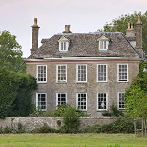
Home > Europe > United Kingdom > England > London > Sights > Holland Park
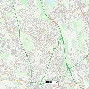
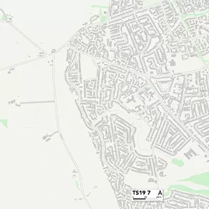
Worcester WR4 0 Map

![]()
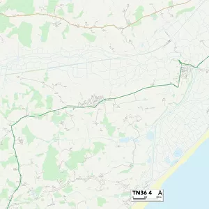
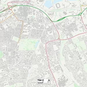
Wall Art and Photo Gifts from Map Marketing
Worcester WR4 0 Map
Postcode Sector Map of Worcester WR4 0
Media ID 19982696
Auckland Close Blair Close Bodiam Close Bolton Avenue Brecon Avenue Burgess Close Burnsall Close Carisbrooke Avenue Cobden Avenue Fallow Field Fry Close Grange Way Grassington Drive Greenfield Close Harlech Close Hastings Drive Lister Avenue Lloyd Close Ludlow Avenue Marsh Avenue Middleton Gardens Nightingale Avenue Norman Close Parsonage Way Pembroke Place Plantation Drive Seven Acres Spring Meadow Stafford Avenue Stirling Avenue Swallowfields The Fairway Trevithick Close Wharfedale Drive White Hill Wingfield Avenue Worcester Ashby Chadwick Falmouth Fotheringhay Tattersall Towneley Tyndale White Castle
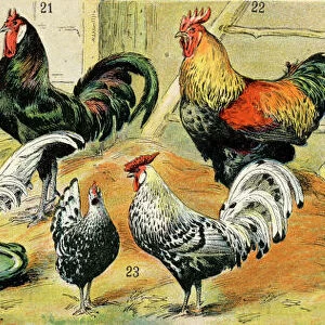
FEATURES IN THESE COLLECTIONS
> Animals
> Birds
> Columbiformes
> Doves
> Related Images
> Animals
> Birds
> Columbiformes
> Doves
> Stock Dove
> Animals
> Birds
> Passerines
> Chats And Flycatchers
> Nightingale
> Animals
> Birds
> Waterfowl
> Ducks
> Wood Duck
> Animals
> Mammals
> Muridae
> Heath Mouse
> Animals
> Mammals
> Muridae
> Little Wood Mouse
> Animals
> Mammals
> Muridae
> Water Mouse
> Europe
> United Kingdom
> England
> London
> Sights
> Holland Park
> Europe
> United Kingdom
> Scotland
> Aberdeenshire
> Huntly
> Europe
> United Kingdom
> Scotland
> Stirlingshire
> Stirling
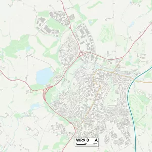
> Map Marketing
> Postcode Sector Maps
> WR - Worcester
MADE IN THE USA
Safe Shipping with 30 Day Money Back Guarantee
FREE PERSONALISATION*
We are proud to offer a range of customisation features including Personalised Captions, Color Filters and Picture Zoom Tools
SECURE PAYMENTS
We happily accept a wide range of payment options so you can pay for the things you need in the way that is most convenient for you
* Options may vary by product and licensing agreement. Zoomed Pictures can be adjusted in the Cart.