Home > North America > United States of America > New York > New York > Sights > Wall Street
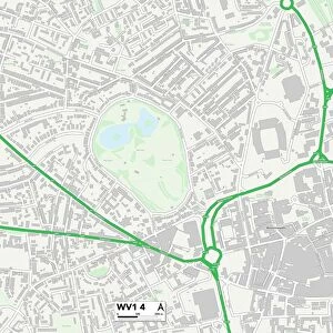
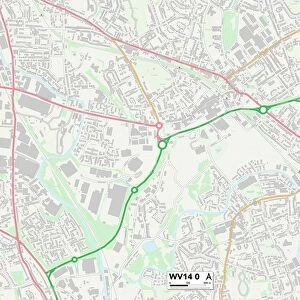
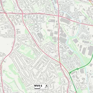
Wolverhampton WV1 2 Map

![]()
Wall Art and Photo Gifts from Map Marketing
Wolverhampton WV1 2 Map
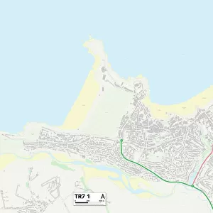
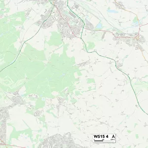
Postcode Sector Map of Wolverhampton WV1 2
Media ID 19983308
Abingdon Close Abingdon Road Ashbourne Road Astbury Close Atherstone Road Barnfield Road Bedford Street Birkdale Close Cavendish Gardens Cavendish Road Colliery Road Coventry Street Cross Street Deans Road Eastfield Road Eskdale Close Griffin Street Hargreaves Street Hillside Gardens Hollington Road Julian Close Julian Road Kelsall Close Knowles Road Laburnum Road Larkspur Close Ledbury Drive Lewis Avenue Lilac Road Malvern Drive Mayfield Road Minton Close Moore Street Parklands Road Pembroke Avenue St Giles Road Stanton Road Swan Street Sydenham Road Thornton Road Wall Street Wolverhampton Woodstock Road
FEATURES IN THESE COLLECTIONS
> Animals
> Mammals
> Muridae
> Heath Mouse
> Arts
> Portraits
> Pop art gallery
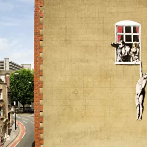
> Street art portraits
> Europe
> United Kingdom
> Wales
> Pembrokeshire
> Pembroke
> Map Marketing
> Postcode Sector Maps
> WV - Wolverhampton
> Maps and Charts
> Related Images
> North America
> United States of America
> New York
> New York
> Sights
> Wall Street
> Posters
> Movie Posters
> Laburnum Grove
MADE IN THE USA
Safe Shipping with 30 Day Money Back Guarantee
FREE PERSONALISATION*
We are proud to offer a range of customisation features including Personalised Captions, Color Filters and Picture Zoom Tools
SECURE PAYMENTS
We happily accept a wide range of payment options so you can pay for the things you need in the way that is most convenient for you
* Options may vary by product and licensing agreement. Zoomed Pictures can be adjusted in the Cart.