Home > Architecture > Towers > Churches
Derby DE22 4 Map

![]()
Wall Art and Photo Gifts from Map Marketing
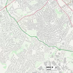
Derby DE22 4 Map
Postcode Sector Map of Derby DE22 4
Media ID 19969597
Acton Road Ashbourne Road Belmont Close Brent Close Brompton Road Burlington Road Carnaby Close Chelsea Close Cheyne Walk Church Lane Derby Dorking Road Downing Close Edgware Road Endsleigh Gardens Enfield Road Epping Close Farringdon Close Finsbury Avenue Grange Road Green Park Greenland Avenue Hanover Square Highbury Close Hyde Park Road Kew Gardens Kingsbury Road Knightsbridge Laburnum Grove Lambeth Close Langley Drive Lilac Avenue Lombard Street Lower Road Merton Drive Moorgate Mornington Crescent Norwood Close Parsons Green Pimlico Prince Charles Avenue Ranelagh Gardens Ravenscourt Road Richardson Way Sydenham Road Thames Close Woburn Place Woodford Road Aldersgate Aldwych Birdcage Walk Fulham Road Kensal Rise Mackworth Westbourne Park
FEATURES IN THESE COLLECTIONS
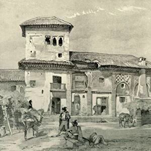
> Architecture
> Towers
> Churches
> Arts
> Artists
> G
> Charles Gold
> Arts
> Artists
> G
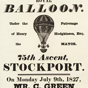
> Charles Green
> Arts
> Artists
> L
> Samuel Lane
> Arts
> Portraits
> Pop art gallery
> Street art portraits
> Europe
> United Kingdom
> England
> London
> Boroughs
> Ealing
> Europe
> United Kingdom
> England
> London
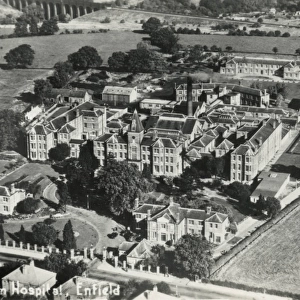
> Boroughs
> Enfield
> Europe
> United Kingdom
> England
> London
> Boroughs
> Greenwich
> Europe
> United Kingdom
> England
> London
> Boroughs
> Havering
> Europe
> United Kingdom
> England
> London
> Boroughs
> Hillingdon
> Map Marketing
> Postcode Sector Maps
> DE - Derby
MADE IN THE USA
Safe Shipping with 30 Day Money Back Guarantee
FREE PERSONALISATION*
We are proud to offer a range of customisation features including Personalised Captions, Color Filters and Picture Zoom Tools
SECURE PAYMENTS
We happily accept a wide range of payment options so you can pay for the things you need in the way that is most convenient for you
* Options may vary by product and licensing agreement. Zoomed Pictures can be adjusted in the Cart.