Home > Europe > United Kingdom > England > London > Boroughs > Harrow
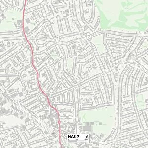
Harrow HA3 8 Map

![]()
Wall Art and Photo Gifts from Map Marketing
Harrow HA3 8 Map
Postcode Sector Map of Harrow HA3 8
Media ID 19970609
Beaufort Avenue Belmont Burnham Close Carlton Avenue Christchurch Avenue Elgin Avenue Elmore Close Elmwood Avenue Grasmere Gardens Harrow Hawthorne Avenue Kenton Road Kingshill Avenue Larkfield Avenue Mayfield Avenue Oakfield Avenue Pembroke Avenue Penn Close Rufford Close St Leonards Avenue St Marys View The Hollies Wykeham Road Christchurch Gardens
FEATURES IN THESE COLLECTIONS
> Europe
> United Kingdom
> England
> London
> Boroughs
> Harrow
> Europe
> United Kingdom
> Scotland
> Moray
> Elgin
> Europe
> United Kingdom
> Scotland
> Strathclyde
> Irvine
> Europe
> United Kingdom
> Wales
> Pembrokeshire
> Pembroke
> Europe
> United Kingdom
> Wales
> Pembrokeshire
> Tenby
> Map Marketing
> Postcode Sector Maps
> HA - Harrow
> Maps and Charts
> Related Images
MADE IN THE USA
Safe Shipping with 30 Day Money Back Guarantee
FREE PERSONALISATION*
We are proud to offer a range of customisation features including Personalised Captions, Color Filters and Picture Zoom Tools
SECURE PAYMENTS
We happily accept a wide range of payment options so you can pay for the things you need in the way that is most convenient for you
* Options may vary by product and licensing agreement. Zoomed Pictures can be adjusted in the Cart.