Home > Europe > United Kingdom > England > London > Sights > Holland Park
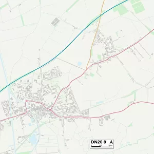
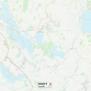
South Oxfordshire OX39 4 Map

![]()
Wall Art and Photo Gifts from Map Marketing
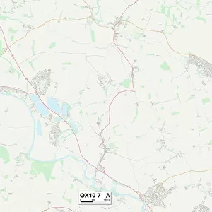
South Oxfordshire OX39 4 Map
Postcode Sector Map of South Oxfordshire OX39 4
Media ID 19978972
Beech Road Brook Street Chalkpit Lane Cherry Tree Road Chiltern View Church Lane Church Road Colliers Lane Cornfields Elm Close Elm Drive Greenwood Avenue Hawthorn Close High Street Hill Road Hill Top Lane Hillside View Holland Close Icknield Close Lakeside Road Lime Grove Lower Road Meadow Road Middle Way Mill Lane Moor Close Musgrave Road Newton Close Nursery Close Oakley Oakley Lane Oakley Road Old Orchard Orchard Way Park Lane Rectory Meadow Red Lane South Oxfordshire Springfield Gardens St Andrews Road Station Road Thame Road The Avenue Walnut Tree Close Willow Road Windmill Close Ashridge Chinnor Cleavers Crowell Crowell Hill Foresters Hernes Oak Hunters Point Kingston Hill Lacemakers Sydenham Wheatfield Woodville
FEATURES IN THESE COLLECTIONS
> Animals
> Mammals
> Cricetidae
> Golden Mouse
> Animals
> Mammals
> Dogs (Wild)
> Red Fox
> Arts
> Artists
> F
> Newton Fielding
> Europe
> United Kingdom
> England
> London
> Sights
> Holland Park
> Europe
> United Kingdom
> England
> Oxfordshire
> Chinnor
> Europe
> United Kingdom
> England
> Oxfordshire
> Grove
> Europe
> United Kingdom
> England
> Oxfordshire
> Hailey
> Europe
> United Kingdom
> England
> Oxfordshire
> Oxford
> Europe
> United Kingdom
> England
> Oxfordshire
> Park Corner
> Map Marketing
> Postcode Sector Maps
> OX - Oxford
MADE IN THE USA
Safe Shipping with 30 Day Money Back Guarantee
FREE PERSONALISATION*
We are proud to offer a range of customisation features including Personalised Captions, Color Filters and Picture Zoom Tools
SECURE PAYMENTS
We happily accept a wide range of payment options so you can pay for the things you need in the way that is most convenient for you
* Options may vary by product and licensing agreement. Zoomed Pictures can be adjusted in the Cart.