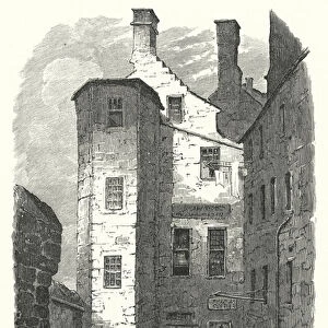
Home > Europe > United Kingdom > Wales > Gwynedd > Holyhead
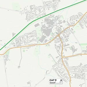
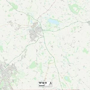
Telford and Wrekin TF6 5 Map

![]()
Wall Art and Photo Gifts from Map Marketing
Telford and Wrekin TF6 5 Map
Postcode Sector Map of Telford and Wrekin TF6 5
Media ID 19979376
Aston Bluebell Road Charlton Church Hill Church Lane Holyhead Road Meadow Drive Orchard Close Rushmoor Spout Lane St Johns Walk Telford And Wrekin The Alley The Avenue Wellington Road High Point Rushton Walcot
FEATURES IN THESE COLLECTIONS
> Arts
> Artists
> C
> John Charlton
> Arts
> Artists
> H
> John Hillers
> Arts
> Artists
> H
> John Hills
> Europe
> United Kingdom
> Wales
> Anglesey
> Holyhead
> Europe
> United Kingdom
> Wales
> Gwynedd
> Holyhead
> Map Marketing
> Postcode Sector Maps
> TF - Telford
MADE IN THE USA
Safe Shipping with 30 Day Money Back Guarantee
FREE PERSONALISATION*
We are proud to offer a range of customisation features including Personalised Captions, Color Filters and Picture Zoom Tools
SECURE PAYMENTS
We happily accept a wide range of payment options so you can pay for the things you need in the way that is most convenient for you
* Options may vary by product and licensing agreement. Zoomed Pictures can be adjusted in the Cart.