Home > Europe > United Kingdom > England > Durham > Woodland
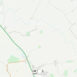
Liverpool L21 1 Map

![]()
Wall Art and Photo Gifts from Map Marketing
Liverpool L21 1 Map
Postcode Sector Map of Liverpool L21 1
Media ID 19972929
Adelaide Road Beaconsfield Road Bedford Place Belgrave Road Cambridge Road Cecil Road Chatham Close Church Road Claremont Close Claremont Road Durham Road Elm Drive Elm Gardens Elm Road Ewart Road Gladstone Avenue Gladstone Road Gordon Road Harrowby Road Hereford Road Holly Grove Kings Park Liverpool Parker Avenue Princess Way Riversdale Road Sandhurst Close Sandown Road Sandy Lane Sandy Road Thomson Road Woodland Road
FEATURES IN THESE COLLECTIONS
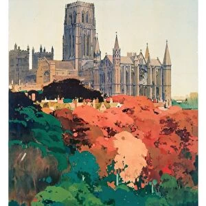
> Arts
> Artists
> P
> Gordon Parks
> Europe
> United Kingdom
> England
> Durham
> Durham
> Europe
> United Kingdom
> England
> Durham
> Woodland
> Europe
> United Kingdom
> England
> Herefordshire
> Maps
> Map Marketing
> Postcode Sector Maps
> L - Liverpool
> Maps and Charts
> Related Images
MADE IN THE USA
Safe Shipping with 30 Day Money Back Guarantee
FREE PERSONALISATION*
We are proud to offer a range of customisation features including Personalised Captions, Color Filters and Picture Zoom Tools
SECURE PAYMENTS
We happily accept a wide range of payment options so you can pay for the things you need in the way that is most convenient for you
* Options may vary by product and licensing agreement. Zoomed Pictures can be adjusted in the Cart.