Home > Europe > United Kingdom > England > London > Sights > Mile End Park
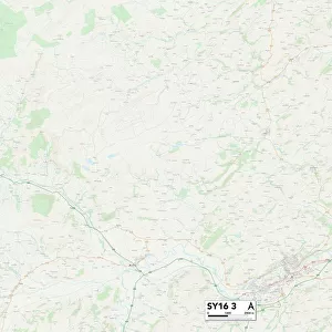
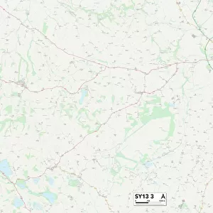
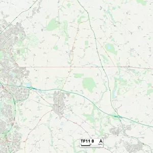
Shropshire SY11 4 Map

![]()
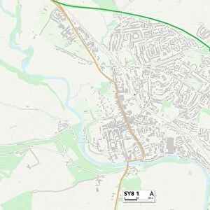
Wall Art and Photo Gifts from Map Marketing
Shropshire SY11 4 Map
Postcode Sector Map of Shropshire SY11 4
Media ID 19982630
Acorn Close Alma Close Applewood Close Artillery Road Birchwood Drive Bishops Close Burma Road Castle Street Castlefields Church Street Coalpit Lane Daisy Lane Ellesmere Road Fox Lane Haughton Henley Close Henley Drive Holyhead Road Larkhill Road Malthouse Close Middleton Middleton Road North Drive Nursery Close Oaklands Drive Oakwood Close Old Rectory Gardens Orchard Drive Park Crescent Park Lane Rosehill Avenue Rosehill Drive Sandford School Road Shrewsbury Road Shropshire Springfield Gardens St Michaels Court Station Road Sutton The Avenue The Maltings Threadneedle Street Top Street Twyford West Drive Western Avenue Wheatlands Whittington Whittington Road Wootton Yew Tree Avenue Yew Tree Close Yew Tree Drive Park Hall Queens Head
FEATURES IN THESE COLLECTIONS
> Asia
> Myanmar
> Related Images
> Europe
> United Kingdom
> England
> London
> Sights
> Bishops Park
> Europe
> United Kingdom
> England
> London
> Sights
> Mile End Park
> Europe
> United Kingdom
> England
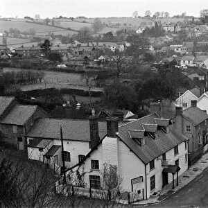
> Shropshire
> Bishop's Castle
> Europe
> United Kingdom
> England
> Shropshire
> Ellesmere
> Europe
> United Kingdom
> England
> Shropshire
> Haughton
> Europe
> United Kingdom
> England
> Shropshire
> Henley
> Europe
> United Kingdom
> England
> Shropshire
> Middleton
> Map Marketing
> Postcode Sector Maps
> SY - Shrewsbury
MADE IN THE USA
Safe Shipping with 30 Day Money Back Guarantee
FREE PERSONALISATION*
We are proud to offer a range of customisation features including Personalised Captions, Color Filters and Picture Zoom Tools
SECURE PAYMENTS
We happily accept a wide range of payment options so you can pay for the things you need in the way that is most convenient for you
* Options may vary by product and licensing agreement. Zoomed Pictures can be adjusted in the Cart.