Home > Europe > United Kingdom > England > London > Boroughs > Hounslow
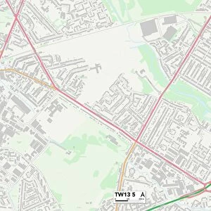
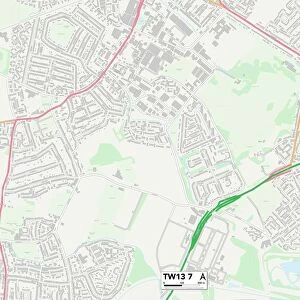
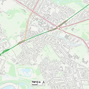
Hounslow TW13 4 Map

![]()
Wall Art and Photo Gifts from Map Marketing
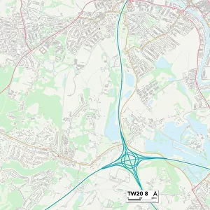
Hounslow TW13 4 Map
Postcode Sector Map of Hounslow TW13 4
Media ID 19982310
Almond Close Ashford Road Avenue Road Briarwood Close Chertsey Road Chervil Close Cranleigh Road Denison Road Ellington Road Francis Avenue Granville Avenue Guildford Avenue Hamilton Close Hamilton Road Hawthorn Road Hazel Grove High Street Highfield Road Hounslow Lancing Road Manor Lane Norbury Road Orchard Road Percival Road Princes Road Railway Terrace Raleigh Road Rochester Avenue Rose Gardens Spring Road St Catherines Court St Dunstans Road Sunbury Road Sydney Road The Green Vernon Road Victoria Road Walton Gardens Westbourne Road Feltham Highland Park Lemon Grove
FEATURES IN THESE COLLECTIONS
> Arts
> Portraits
> Pop art gallery
> Street art portraits
> Europe
> United Kingdom
> England
> London
> Boroughs
> Hounslow
> Europe
> United Kingdom
> England
> London
> Sights
> Victoria Park
> Europe
> United Kingdom
> Scotland
> Strathclyde
> Hamilton
> Map Marketing
> Postcode Sector Maps
> TW - Twickenham
> Maps and Charts
> Related Images
> Popular Themes
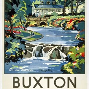
> Railway Posters
MADE IN THE USA
Safe Shipping with 30 Day Money Back Guarantee
FREE PERSONALISATION*
We are proud to offer a range of customisation features including Personalised Captions, Color Filters and Picture Zoom Tools
SECURE PAYMENTS
We happily accept a wide range of payment options so you can pay for the things you need in the way that is most convenient for you
* Options may vary by product and licensing agreement. Zoomed Pictures can be adjusted in the Cart.