Home > Europe > United Kingdom > England > Northumberland > Dunstan
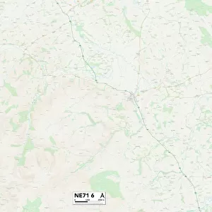
Northumberland NE68 7 Map

![]()
Wall Art and Photo Gifts from Map Marketing
Northumberland NE68 7 Map
Postcode Sector Map of Northumberland NE68 7
Media ID 19976950
Beech Croft Broad Road Castle Close Castle Court Castle Drive Castle View Chapel Row Crown Street George Street Greenacres Harbour Road Jackson Place James Street Jubilee Place King Street Main Street Mayfield Mitchell Avenue North Lane North Street Northumberland Osborne Gardens Osborne Terrace Regal Close Seafield Road South Lane South Street Southfield Avenue Stone Close Taylor Street The Croft Union Street Village Farm West View Seahouses St Aidans
FEATURES IN THESE COLLECTIONS
> Europe
> United Kingdom
> England
> Northumberland
> Bamburgh
> Europe
> United Kingdom
> England
> Northumberland
> Dunstan
> Europe
> United Kingdom
> England
> Northumberland
> North Sunderland
> Europe
> United Kingdom
> England
> Northumberland
> Related Images
> Europe
> United Kingdom
> England
> Northumberland
> Seahouses
> Map Marketing
> Postcode Sector Maps
> NE - Newcastle upon Tyne
> Maps and Charts
> Related Images
MADE IN THE USA
Safe Shipping with 30 Day Money Back Guarantee
FREE PERSONALISATION*
We are proud to offer a range of customisation features including Personalised Captions, Color Filters and Picture Zoom Tools
SECURE PAYMENTS
We happily accept a wide range of payment options so you can pay for the things you need in the way that is most convenient for you
* Options may vary by product and licensing agreement. Zoomed Pictures can be adjusted in the Cart.