Home > Europe > United Kingdom > England > London > Boroughs > Barnet
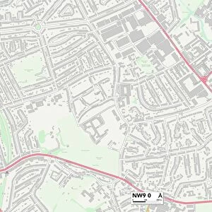
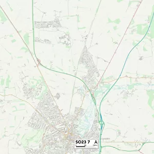
Barnet NW9 8 Map

![]()
Wall Art and Photo Gifts from Map Marketing
Barnet NW9 8 Map
Postcode Sector Map of Barnet NW9 8
Media ID 19977208
Adams Close Baird Close Barnet Barnhill Road Briarwood Close Carter Close Church Drive Church Lane Church Walk Daisy Close Greenhill Hawthorne Grove Hill Drive Holden Avenue Holly Grove Jubilee Close Laburnum Grove Lavender Avenue Mallard Way Maple Grove Meadowbank Road Mount Drive Old Church Lane Park Road Poplar Grove Queens Walk Slough Lane St Andrews Road Stewart Close Sycamore Grove Tudor Close Tudor Gardens Wells Drive Woodland Close Kingsbury
FEATURES IN THESE COLLECTIONS
> Animals
> Birds
> Waterfowl
> Ducks
> Mallard
> Animals
> Fishes
> S
> Salmon
> Europe
> United Kingdom
> England
> London
> Boroughs
> Barnet
> Europe
> United Kingdom
> Scotland
> Fife
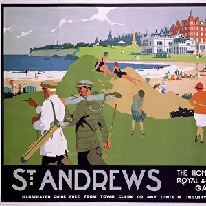
> St Andrews
> Map Marketing
> Postcode Sector Maps
> NW - London NW
> Maps and Charts
> Related Images
> Posters
> Movie Posters
> Laburnum Grove
MADE IN THE USA
Safe Shipping with 30 Day Money Back Guarantee
FREE PERSONALISATION*
We are proud to offer a range of customisation features including Personalised Captions, Color Filters and Picture Zoom Tools
SECURE PAYMENTS
We happily accept a wide range of payment options so you can pay for the things you need in the way that is most convenient for you
* Options may vary by product and licensing agreement. Zoomed Pictures can be adjusted in the Cart.