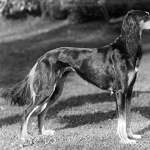
Home > Animals > Farm > Sheep > Related Images
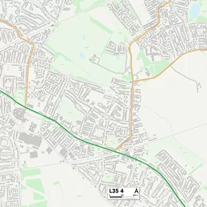
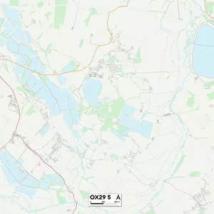
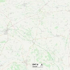
West Oxfordshire OX7 3 Map

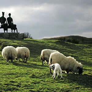
![]()
Wall Art and Photo Gifts from Map Marketing
West Oxfordshire OX7 3 Map
Postcode Sector Map of West Oxfordshire OX7 3
Media ID 19977186
Bartlett Close Blackberry Lane Browns Lane Bull Hill Chapel Road Chartwell Drive Church Close Church Lane Church Rise Church Road Church Street Dairy Court Dark Lane Dean Elm Crescent Enstone Road Eversley Close Fishers Lane Forest Road Green Lane Grove Lane High Street Hill Close Hill Crescent Hughes Close Leafield Road Lee Close Main Street Manor Court Market Street Marlborough Place Mill Close Park Street Potter Close Pound Hill Quarry Lane Quarry Road School Lane School Road Sheep Street Thames Street The Green The Slade Wards Lane Water Lane Webbs Close Well Hill West Oxfordshire Witney Road Woodfield Drive Woodstock Road Wychwood Close Charlbury Eastend Ramsden The Stocks Westend
FEATURES IN THESE COLLECTIONS
> Animals
> Farm
> Sheep
> Related Images
> Animals
> Mammals
> Bovidae
> Sheep
> Animals
> Mammals
> Muridae
> Little Wood Mouse
> Arts
> Landscape paintings
> Forest and woodland scenes
> Forest artwork
> Europe
> United Kingdom
> England
> Oxfordshire
> Banbury
> Europe
> United Kingdom
> England
> Oxfordshire
> Chadlington
> Europe
> United Kingdom
> England
> Oxfordshire
> Charlbury
> Europe
> United Kingdom
> England
> Oxfordshire
> Chipping Norton
> Europe
> United Kingdom
> England
> Oxfordshire
> Church Enstone
> Map Marketing
> Postcode Sector Maps
> OX - Oxford
MADE IN THE USA
Safe Shipping with 30 Day Money Back Guarantee
FREE PERSONALISATION*
We are proud to offer a range of customisation features including Personalised Captions, Color Filters and Picture Zoom Tools
SECURE PAYMENTS
We happily accept a wide range of payment options so you can pay for the things you need in the way that is most convenient for you
* Options may vary by product and licensing agreement. Zoomed Pictures can be adjusted in the Cart.