Home > Europe > United Kingdom > England > Buckinghamshire > Wing
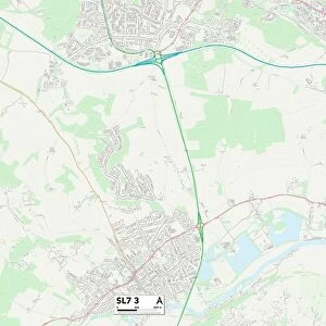
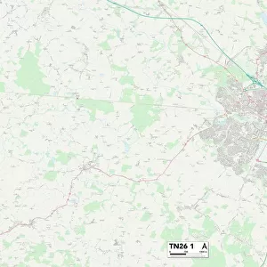
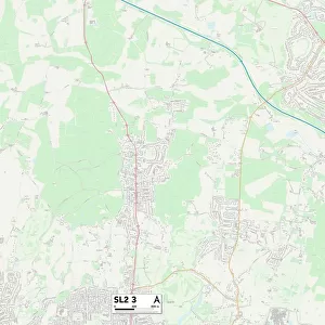
South Buckinghamshire SL7 2 Map

![]()
Wall Art and Photo Gifts from Map Marketing
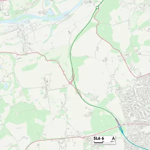
South Buckinghamshire SL7 2 Map
Postcode Sector Map of South Buckinghamshire SL7 2
Media ID 19978888
Barley Way Beechwood Drive Beverley Close Bream Close Cambridge Road Chalkpit Lane Chestnut Close Chiltern Road Crown Road Ferry Lane Grayling Close Harwood Road Henley Road Highfield Park Oxford Road Perch Close Pike Close Portland Crescent Pound Lane Prospect Road Queens Road Riley Road School Lane Shelley Close South Buckinghamshire South Close The Rushes West Street Westwood Road York Road Buckingham Gate Dukes Place Kings Wood Klondyke Medmenham
FEATURES IN THESE COLLECTIONS
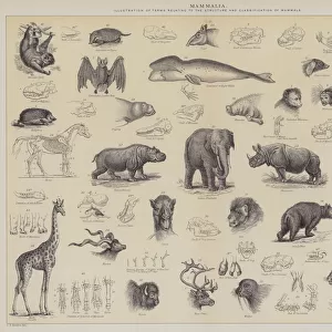
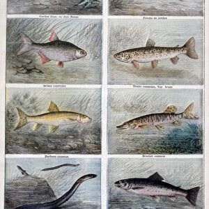
> Animals
> Fishes
> G
> Grayling
> Animals
> Fishes
> M
> Marlin
> Animals
> Fishes
> P
> Perch
> Animals
> Fishes
> T
> Trout Perch
> Animals
> Mammals
> Muridae
> Fortior
> Arts
> Portraits
> Pop art gallery
> Street art portraits
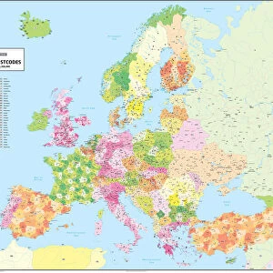
> Europe
> United Kingdom
> England
> Buckinghamshire
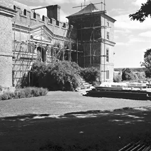
> Buckingham
> Europe
> United Kingdom
> England
> Buckinghamshire
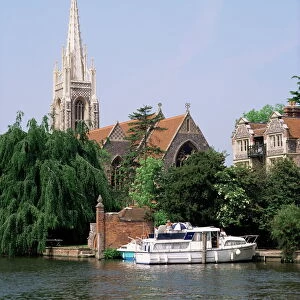
> Marlow
> Europe
> United Kingdom
> England
> Buckinghamshire
> Related Images
> Europe
> United Kingdom
> England
> Buckinghamshire
> Wing
> Map Marketing
> Postcode Sector Maps
> SL - Slough
> Map Marketing
> UK Maps
MADE IN THE USA
Safe Shipping with 30 Day Money Back Guarantee
FREE PERSONALISATION*
We are proud to offer a range of customisation features including Personalised Captions, Color Filters and Picture Zoom Tools
SECURE PAYMENTS
We happily accept a wide range of payment options so you can pay for the things you need in the way that is most convenient for you
* Options may vary by product and licensing agreement. Zoomed Pictures can be adjusted in the Cart.