Home > Europe > United Kingdom > England > Durham > Durham
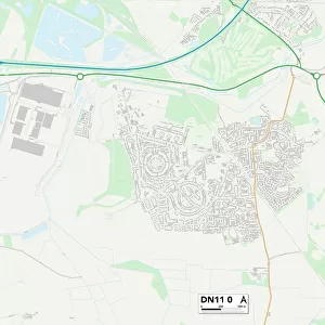
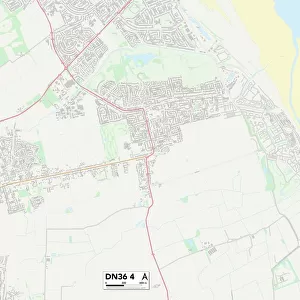
North East Lincolnshire DN35 9 Map

![]()
Wall Art and Photo Gifts from Map Marketing
North East Lincolnshire DN35 9 Map
Postcode Sector Map of North East Lincolnshire DN35 9
Media ID 19969379
Ashby Road Balmoral Road Belmont Close Braemar Road Brian Avenue Chatsworth Place Chester Place Curzon Avenue Davenport Drive Durham Road Green Hill Kenilworth Road Lincoln Road Mill Garth Montgomery Road Newstead Road Normandy Road North East Lincolnshire Penshurst Road Philip Avenue Rufford Road Sandringham Road School Walk Thornton Crescent Vaughan Avenue Warwick Road Welbeck Road Windsor Road York Place
FEATURES IN THESE COLLECTIONS
> Europe
> United Kingdom
> England
> Durham
> Durham
> Europe
> United Kingdom
> England
> Lincolnshire
> Humberston
> Europe
> United Kingdom
> England
> Lincolnshire
> Lincoln
> Europe
> United Kingdom
> England
> Lincolnshire
> North Thoresby
> Europe
> United Kingdom
> England
> Lincolnshire
> Related Images
> Europe
> United Kingdom
> England
> Lincolnshire
> Thornton
> Europe
> United Kingdom
> England
> Lincolnshire
> Thorpe
> Europe
> United Kingdom
> Wales
> Powys
> Montgomery
> Map Marketing
> Postcode Sector Maps
> DN - Doncaster
> Maps and Charts
> Related Images
MADE IN THE USA
Safe Shipping with 30 Day Money Back Guarantee
FREE PERSONALISATION*
We are proud to offer a range of customisation features including Personalised Captions, Color Filters and Picture Zoom Tools
SECURE PAYMENTS
We happily accept a wide range of payment options so you can pay for the things you need in the way that is most convenient for you
* Options may vary by product and licensing agreement. Zoomed Pictures can be adjusted in the Cart.