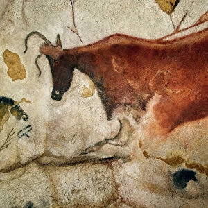
Home > Animals > Farm > Cattle > Related Images
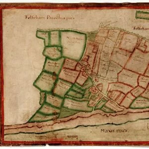
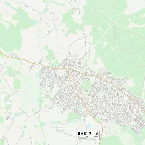
Purbeck BH20 4 Map

![]()
Wall Art and Photo Gifts from Map Marketing
Purbeck BH20 4 Map
Postcode Sector Map of Purbeck BH20 4
Media ID 19965554
Admirals Way Avon Drive Barnes Road Burns Road Carey Close Carey Road Causeway Close Church Green Church Lane Church Street Coopers Close Cow Lane East Street Fairway Drive Folly Lane Frome Road Hardy Road Howards Lane Johns Road Meadow View Close Mill Lane Monmouth Road Mount Pleasant New Street North Street Pound Lane Purbeck Ropers Lane Ryan Close Sandford Road Shirley Road South Street St Johns Hill St Martins Close St Martins Lane St Marys Close St Michaels Road Tanners Lane The Croft The Quay Tinkers Lane Trent Drive Trinity Lane West Street Westminster Road Willow Way Wareham
FEATURES IN THESE COLLECTIONS
> Animals
> Farm
> Cattle
> Related Images
> Arts
> Artists
> C
> Edward Cooper
> Arts
> Artists
> H
> John Hillers
> Arts
> Artists
> H
> John Hills
> Arts
> Artists
> M
> John Martin
> Arts
> Artists
> N
> John Norden
> Arts
> Portraits
> Pop art gallery
> Street art portraits
> Europe
> United Kingdom
> England
> Avon
> Europe
> United Kingdom
> Wales
> Ceredigion
> New Quay
> Europe
> United Kingdom
> Wales
> Monmouthshire
> Monmouth
> Map Marketing
> Postcode Sector Maps
> BH - Bournemouth
MADE IN THE USA
Safe Shipping with 30 Day Money Back Guarantee
FREE PERSONALISATION*
We are proud to offer a range of customisation features including Personalised Captions, Color Filters and Picture Zoom Tools
SECURE PAYMENTS
We happily accept a wide range of payment options so you can pay for the things you need in the way that is most convenient for you
* Options may vary by product and licensing agreement. Zoomed Pictures can be adjusted in the Cart.