Home > Animals > Mammals > Muridae > Fortior
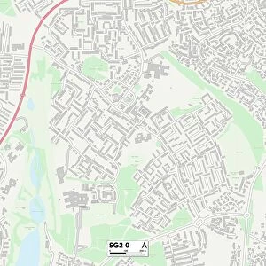
Wycombe HP27 9 Map

![]()
Wall Art and Photo Gifts from Map Marketing
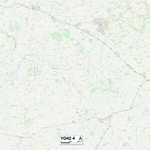
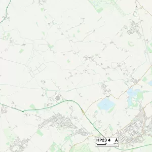
Wycombe HP27 9 Map
Postcode Sector Map of Wycombe HP27 9
Media ID 19972174
Abbots Way Almond Way Aylesbury Road Bar Lane Barley Close Barn Road Bell Crescent Brooke Road Burton Lane Canterbury Close Chapel Lane Chestnut Close Chestnut Way Church End Church Lane Court Close Dovecote Close Fairway Farmers Way Grange View Ivy Close Kingsmead Lee Road Little Lane Manor Close Manor Road Mead Close Meadow Drive Mill Lane Milton Gardens Mount Way Old Manor Close Orchard Close Orchard Place Perry Lane Pilgrims Close Poppy Road Sandpit Lane Spring Drive St Dunstans Close Station Road Stratton Road Thame Road The Green The Hawthorns The Willows Walnut Crescent Walnut Tree Lane West Lane Westmead Williams Way Willow Way Woodbine Close Wycombe Wycombe Road Alscot Princes Risborough
FEATURES IN THESE COLLECTIONS
> Animals
> Mammals
> Muridae
> Fortior
> Map Marketing
> Postcode Sector Maps
> HP - Hemel Hempstead
> Maps and Charts
> Related Images
MADE IN THE USA
Safe Shipping with 30 Day Money Back Guarantee
FREE PERSONALISATION*
We are proud to offer a range of customisation features including Personalised Captions, Color Filters and Picture Zoom Tools
SECURE PAYMENTS
We happily accept a wide range of payment options so you can pay for the things you need in the way that is most convenient for you
* Options may vary by product and licensing agreement. Zoomed Pictures can be adjusted in the Cart.