Home > Architecture > Industrial
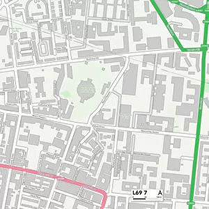
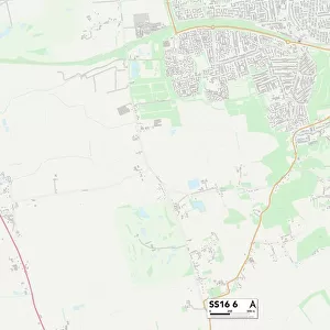
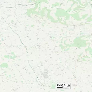
Leeds LS9 7 Map

![]()
Wall Art and Photo Gifts from Map Marketing
Leeds LS9 7 Map
Postcode Sector Map of Leeds LS9 7
Media ID 19974840
Accommodation Road Alma Street Appleton Way Argyle Road Beckett Street Bell Street Burton Way Chapman Street Cherry Place Compton Avenue Compton Place Cromwell Street Firth Street Florence Street Fraser Street Granville Road Hope Road Industrial Street Leeds Lincoln Road Lindsey Road Lydgate Middleton Avenue Museum Street New Town Rectory Street Roxby Close Ruby Street Shakespeare Avenue Shakespeare Close Shakespeare Street St Marys Lane St Marys Street St Stephens Court St Stephens Road Stanley Place Stanley Road Stanley Terrace Trent Road Walford Road Burmantofts
FEATURES IN THESE COLLECTIONS
> Map Marketing
> Postcode Sector Maps
> LS - Leeds
> Maps and Charts
> Related Images
MADE IN THE USA
Safe Shipping with 30 Day Money Back Guarantee
FREE PERSONALISATION*
We are proud to offer a range of customisation features including Personalised Captions, Color Filters and Picture Zoom Tools
SECURE PAYMENTS
We happily accept a wide range of payment options so you can pay for the things you need in the way that is most convenient for you
* Options may vary by product and licensing agreement. Zoomed Pictures can be adjusted in the Cart.