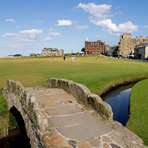
Home > Europe > United Kingdom > Scotland > Fife > St Andrews
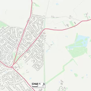
St. Helens WA10 6 Map

![]()
Wall Art and Photo Gifts from Map Marketing
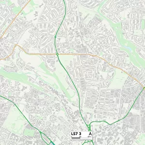
St. Helens WA10 6 Map
Postcode Sector Map of St. Helens WA10 6
Media ID 19979826
Abbey Road Ainsworth Road Arnold Avenue Beaconsfield Road Birch Avenue Birch Gardens Bishop Road Carr Street Chaucer Road City Road Coleridge Avenue Coronation Road Dalton Close Devonshire Road Eaton Road Fairfield Road Friar Street Furness Avenue Greenfield Road Hamilton Road Hartington Road Helens Hillside Avenue Kiln Lane King Edward Road Kingsley Road Lawrence Road Linkway Martin Avenue Moorfield Road Pine Avenue Princess Avenue Priory Gardens Queens Drive Regal Drive Rivington Avenue Rosebery Road Ruskin Drive Rutherford Road Sackville Road Seddon Street Sidmouth Close St Georges Avenue St Thomas Close Stuart Road Swinburne Road Sycamore Gardens The Chantry The Grove The Nook Wallace Drive Walton Road Watery Lane Whalley Avenue Whitefield Road Woodford Road Wright Close Windle
FEATURES IN THESE COLLECTIONS
> Arts
> Artists
> B
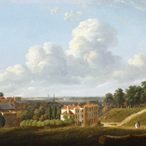
> Thomas Birch
> Arts
> Artists
> H
> Thomas Hill
> Arts
> Artists
> L
> Thomas Lawrence
> Arts
> Artists
> N
> Thomas North
> Arts
> Artists
> P
> George Prince
> Europe
> United Kingdom
> Scotland
> Fife
> St Andrews
> Europe
> United Kingdom
> Scotland
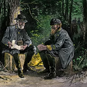
> Strathclyde
> Hamilton
> Map Marketing
> Postcode Sector Maps
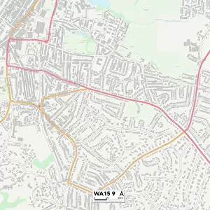
> WA - Warrington
> Maps and Charts
> Related Images
> North America
> Saint Martin
> Maps
MADE IN THE USA
Safe Shipping with 30 Day Money Back Guarantee
FREE PERSONALISATION*
We are proud to offer a range of customisation features including Personalised Captions, Color Filters and Picture Zoom Tools
SECURE PAYMENTS
We happily accept a wide range of payment options so you can pay for the things you need in the way that is most convenient for you
* Options may vary by product and licensing agreement. Zoomed Pictures can be adjusted in the Cart.