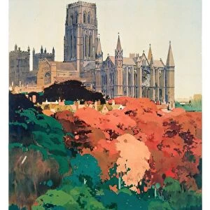
Home > Arts > Portraits > Pop art gallery > Street art portraits
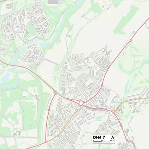
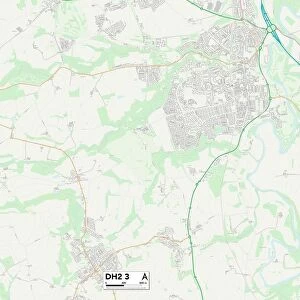
County Durham DH2 3 Map

![]()
Wall Art and Photo Gifts from Map Marketing
County Durham DH2 3 Map
Postcode Sector Map of County Durham DH2 3
Media ID 19968474
Albert Street Alnwick Close Brandon Close Briar Close Buttermere Close Cedar Avenue Cedar Street Chester Street Cheviot Close Church View Cleveland Avenue Cotswold Avenue County Durham Dunvegan Avenue East Avenue East Street Elmwood Fenton Close Fenwick Close Grange Court Grasmere Road Hawes Avenue Hawthorn Close Hermitage Gardens Ingram Close Leven Avenue Lindisfarne Close Lomond Place Mendip Avenue Mill Lane Millfield Close Norton Close Oak Crescent Oakfield Olive Street Park View Pine Street Poppyfields Portland Close Queen Street Rothbury Close Rydal Road Sidlaw Avenue St Marys Close Sycamore Road The Crescent The Dene The Firs The Green Thirlmere Avenue Ullswater Road Union Lane West Avenue West Street
FEATURES IN THESE COLLECTIONS
> Arts
> Portraits
> Pop art gallery
> Street art portraits
> Europe
> United Kingdom
> England
> Cleveland
> Europe
> United Kingdom
> England
> County Durham
> Durham
> Europe
> United Kingdom
> England
> Durham
> Brandon
> Europe
> United Kingdom
> England
> Durham
> Durham
> Europe
> United Kingdom
> England
> Durham
> Grange Villa
> Europe
> United Kingdom
> England
> Durham
> Hawthorn
> Europe
> United Kingdom
> England
> Durham
> Pelton
> Europe
> United Kingdom
> England
> Durham
> Plawsworth
> Europe
> United Kingdom
> England
> Durham
> Waldridge
> Map Marketing
> Postcode Sector Maps
> DH - Durham
MADE IN THE USA
Safe Shipping with 30 Day Money Back Guarantee
FREE PERSONALISATION*
We are proud to offer a range of customisation features including Personalised Captions, Color Filters and Picture Zoom Tools
SECURE PAYMENTS
We happily accept a wide range of payment options so you can pay for the things you need in the way that is most convenient for you
* Options may vary by product and licensing agreement. Zoomed Pictures can be adjusted in the Cart.