Home > Europe > United Kingdom > England > Durham > Woodland
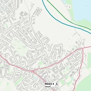
Broxbourne EN7 5 Map

![]()
Wall Art and Photo Gifts from Map Marketing
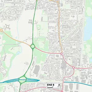
Broxbourne EN7 5 Map
Postcode Sector Map of Broxbourne EN7 5
Media ID 19970083
Bakers Road Barrow Lane Beverley Gardens Broadfields Chiltern Close Cromwell Avenue Crouch Lane Dark Lane Ermine Close Franklin Avenue Greenways Greenwood Avenue Greenwood Close Hawthorne Avenue Hawthorne Close Hillcrest Close Jones Road Lilac Close Linden Close Lindsay Place Lloyd Close Lulworth Avenue Oaktree Close Orchard Way Orchid Close Peace Close Pembroke Drive Pollards Close Portland Drive Silver Street Stuart Way Temple Close The Chase The Crest The Drive Tudor Avenue Tudor Close Wesley Close Windsor Close Woodland Way Woodside Broxbourne
FEATURES IN THESE COLLECTIONS
> Animals
> Insects
> Spiders
> Silver Garden
> Arts
> Portraits
> Pop art gallery
> Street art portraits
> Europe
> United Kingdom
> England
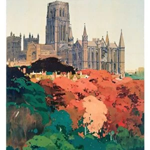
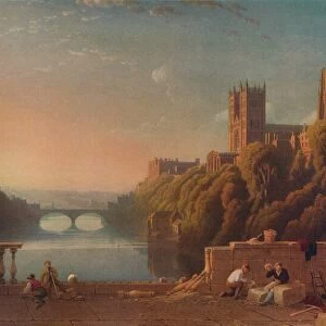
> Durham
> Durham
> Europe
> United Kingdom
> England
> Durham
> Woodland
> Europe
> United Kingdom
> Wales
> Pembrokeshire
> Pembroke
> Map Marketing
> Postcode Sector Maps
> EN - Enfield
> Maps and Charts
> Related Images
MADE IN THE USA
Safe Shipping with 30 Day Money Back Guarantee
FREE PERSONALISATION*
We are proud to offer a range of customisation features including Personalised Captions, Color Filters and Picture Zoom Tools
SECURE PAYMENTS
We happily accept a wide range of payment options so you can pay for the things you need in the way that is most convenient for you
* Options may vary by product and licensing agreement. Zoomed Pictures can be adjusted in the Cart.