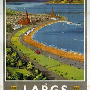
Home > Europe > United Kingdom > Scotland > Dumfries and Galloway > Langholm
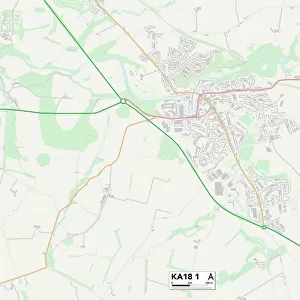
East Ayrshire KA18 2 Map

![]()
Wall Art and Photo Gifts from Map Marketing
East Ayrshire KA18 2 Map
Postcode Sector Map of East Ayrshire KA18 2
Media ID 19972682
Arran Drive Ayr Road Beechwood Avenue Broom Crescent Cameron Drive Church Hill Church Street Coal Road East Ayrshire Glebe Crescent Heathfield Road Highfield Place Hillside Crescent Main Street Manse Brae Market Place Market Road Mill Street Park Road School Road Station Avenue Stewart Avenue Talbot Drive The Avenue Well Road Auchinleck
FEATURES IN THESE COLLECTIONS
> Europe
> United Kingdom
> Scotland
> Ayrshire
> Europe
> United Kingdom
> Scotland
> Dumfries and Galloway
> Langholm
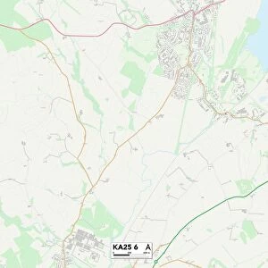
> Map Marketing
> Postcode Sector Maps
> KA - Kilmarnock
> Maps and Charts
> Related Images
MADE IN THE USA
Safe Shipping with 30 Day Money Back Guarantee
FREE PERSONALISATION*
We are proud to offer a range of customisation features including Personalised Captions, Color Filters and Picture Zoom Tools
SECURE PAYMENTS
We happily accept a wide range of payment options so you can pay for the things you need in the way that is most convenient for you
* Options may vary by product and licensing agreement. Zoomed Pictures can be adjusted in the Cart.