Home > Europe > United Kingdom > Scotland > Highlands > Dingwall
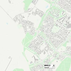
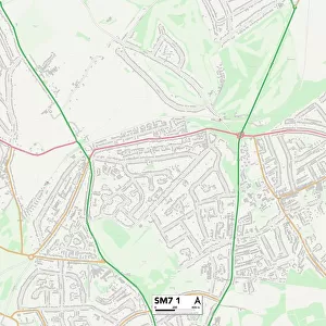
Sutton SM5 4 Map

![]()
Wall Art and Photo Gifts from Map Marketing
Sutton SM5 4 Map
Postcode Sector Map of Sutton SM5 4
Media ID 19981626
Alexandra Gardens Boundary Road Briar Lane Burns Close Dalmeny Road Damson Way East Drive Fairway Fullerton Road Grove Place Hawthorne Avenue Ingleton Road Kings Avenue Mount Close Mount Way Oaks Way Pine Crescent Pine Walk Princes Avenue Roman Way Sandown Drive South Avenue South Way Southdown Road Stanhope Road Stanley Road Sutton The Close The Warren Vincent Avenue West Drive West Way Pine Ridge
FEATURES IN THESE COLLECTIONS
> Animals
> Birds
> Passerines
> Finches
> Brambling
> Europe
> United Kingdom
> Scotland
> Highlands
> Dingwall
> Map Marketing
> Postcode Sector Maps
> SM - Sutton
MADE IN THE USA
Safe Shipping with 30 Day Money Back Guarantee
FREE PERSONALISATION*
We are proud to offer a range of customisation features including Personalised Captions, Color Filters and Picture Zoom Tools
SECURE PAYMENTS
We happily accept a wide range of payment options so you can pay for the things you need in the way that is most convenient for you
* Options may vary by product and licensing agreement. Zoomed Pictures can be adjusted in the Cart.