Home > Europe > United Kingdom > England > Birmingham > Area > Handsworth Wood
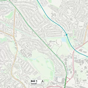
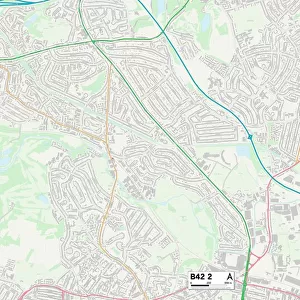
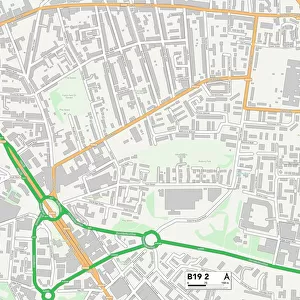
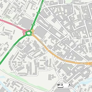
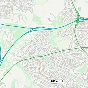
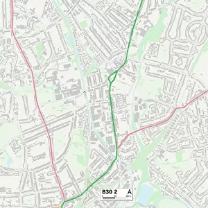
Birmingham B20 2 Map

![]()
Wall Art and Photo Gifts from Map Marketing
Birmingham B20 2 Map
Postcode Sector Map of Birmingham B20 2
Media ID 19965335
Ashleigh Drive Birmingham Bowling Green Lane Bramley Drive Broughton Road Butlers Close Calder Grove Cherry Orchard Road Church Green Church Lane College Drive College Road Cornwall Road Devon Close Devonshire Road Elmwood Gardens Everest Road Grove Gardens Hall Road Hill Grove Holly Road Howard Road Hudson Road Jubilee Drive Lloyd Road Nursery Drive Oaklands Drive Packwood Close Parklands Avenue Pike Close Richmond Close Selborne Road Slack Lane Somerset Road St Annes Close Stockwell Road The Coppice The Drive The Grange Washington Drive Wedgewood Drive Welford Road Wellington Road West Avenue Windermere Road Wood Lane
FEATURES IN THESE COLLECTIONS
> Animals
> Mammals
> Cricetidae
> Golden Mouse
> Arts
> Artists
> L
> Philip Lea
> Europe
> United Kingdom
> England
> Birmingham
> Area
> Beech Lanes
> Europe
> United Kingdom
> England
> Birmingham
> Area
> Bromford
> Europe
> United Kingdom
> England
> Birmingham
> Area
> Hall Green
> Europe
> United Kingdom
> England
> Birmingham
> Area
> Hamstead
> Europe
> United Kingdom
> England
> Birmingham
> Area
> Handsworth Wood
> Europe
> United Kingdom
> England
> Birmingham
> Area
> Handsworth
> Europe
> United Kingdom
> England
> Birmingham
> Area
> Hill Wood
> Europe
> United Kingdom
> England
> Birmingham
> Area
> Lea Hall
> Map Marketing
> Postcode Sector Maps
> B - Birmingham
MADE IN THE USA
Safe Shipping with 30 Day Money Back Guarantee
FREE PERSONALISATION*
We are proud to offer a range of customisation features including Personalised Captions, Color Filters and Picture Zoom Tools
SECURE PAYMENTS
We happily accept a wide range of payment options so you can pay for the things you need in the way that is most convenient for you
* Options may vary by product and licensing agreement. Zoomed Pictures can be adjusted in the Cart.